Killdeer

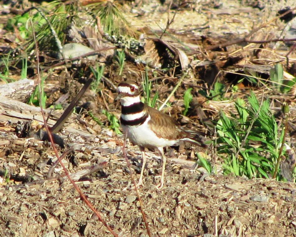
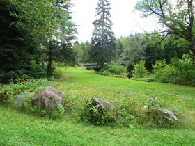
  [click  photos to enlarge ] This “shorebird” was far from salt water in a rough open area in Stacyville, northern Penobscot County near Aroostook County.  That was in late May 2012, a bit earlier than when Killdeer are normally expected to be in Maine for the summer breeding season. The changing climate may have…

Lunksoos Area

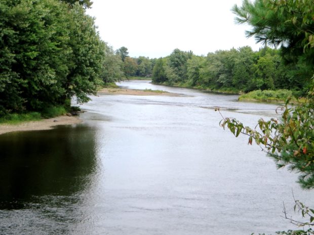
The Lunksoos [pronounced lunksue] area of T3 R7 WELS includes stunning views of the East Branch of the Penobscot River and historic sites such as the Hunt Farm and Lunksoos Camps. In 2014 it was also the local headquarters of Elliotsville Plantation foundation’s “Lunksoos Base Camp.” Not to be confused with Elliotsville Township (once a…

Trout Brook Township Campground Baxter Park

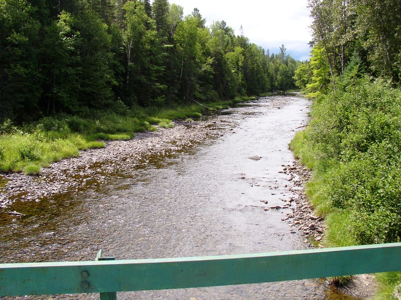
Trout Brook from the north side of the bridge on the Perimeter Road in Baxter State Park (2007)

This township is home to Trout Brook Farm Campground in Baxter State Park. A park ranger station is here just off the northern most reach of the park’s Tote Road. Trout Brook flows through in a northeasterly direction to enter Grand Lake Matagamon. The brook crosses the Tote Road near the entrance to the South Branch Ponds. Forest products are harvested in the Scientific Forest Management Area.

Nesourdnahunk Township

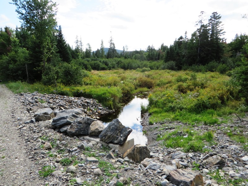
North Branch of Trout Brook on the Tote Road (2014)

Wholly within Baxter State Park, also known as T5 R10 WELS, it contains five mountains over 1,700 feet. Trout Brook flow through. Dwelley Pond is it only pond. The Dwelley Pond Trail follows the old Tote Road north to south from near Burnt Mountain to near Strickland Mountain for day hiking, canoeing and fishing.

T1 R6 WELS

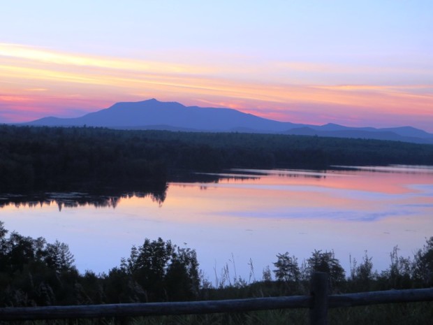
Sunset Over Mount Katahdin at Salmon Stream Lake (2014)

Most travelers see the township from the scenic view on I-95. The attraction is a view of Mount Katahdin over 659-acre Salmon Stream Lake.  The outlet of Little Salmon Stream Lake, to the northeast, flows into Salmon Stream Lake. A section of Penobscot Indian Territory is in the northwest corner of the township, along the…