Sedgwick

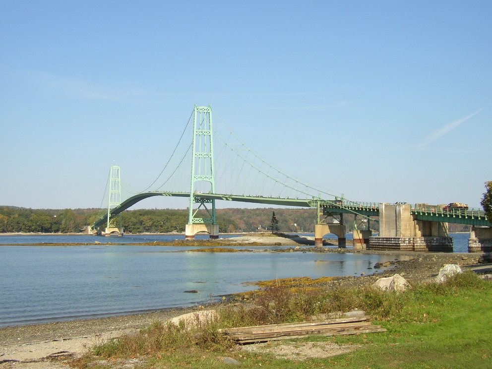
The Deer Isle Bridge over Eggemoggin Reach between Sedgwick and Deer Isle (2003)

Eggemoggin Reach is a long stretch of water between the mainland and Deer Isle and Little Deer Isle. See photos. The Benjamin River provided tidal power to a grist mill near Sedgwick village. In addition the town had another grist mill, some saw mills, and two silver mining companies. Shipbuilding was yet another industry. Other villages are North Sedgwick, Sargentville, Black Corner, and Grays Corner.

Seboeis

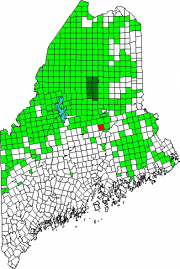
Location Map for Seboeis

The small Seboeis village is nearly at the end of the Seboeis Road, which leads north in Howland from the North Howland Road. The village is less than a mile from the shore of South Branch Lake, where there is a boat launch. Seboeis Public Reserved Land of 15,628 acres provides opportunities for boating, camping, fishing, hunting, snowmobiling, and watching wildlife.

Sebec

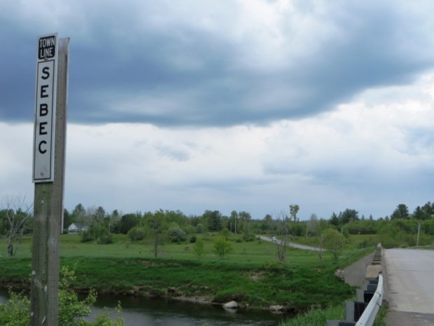
Several small ponds dot the landscape, including the 28-acre Garland Pond. Located between Dover-Foxcroft to the west and Milo to the east, the town is connected to both by Maine combined Route 6 and 16, and by the Piscataquis River.