Maxim, Hiram Stevens

(1840-1916) was born in Sangerville February 5, 1840 and was famous for inventing the machine gun, ironically a “sanguinary” (bloody) instrument of warfare. Among other things, he invented smokeless powder for guns, a gas generator, a gas headlight for locomotives, automatic steam and vacuum pumps, and engine governors. According to Maine: A Guide Downeast, In…

Maxfield

Maxfield is definitely “off the beaten path” in northeastern Penobscot County. No main route passes through it and the town is split by the Piscataquis River with no bridge spanning it within the town. A bridge in nearby Howland crosses the river just before it empties into the Penobscot.

Mattawamkeag

Upper Gordon Falls on the Mattawamkeag River (2016) [See video]

The Mattawamkeag River, on which the town is located, is the largest eastern tributary of the Penobscot. See photos. The junction of the two rivers is marked by a gravel bar at the entrance to the Mattawamkeag. Thoreau, on his way to climbing Mount Katahdin, visited the area in 1847. Today, a 1,000 acre Wilderness Park is situated between the two rivers with campsites, fishing, swimming and hiking available.

Masardis

Railroad Crossing in Masardis near Fraser Timber Mill on Route 11 (2015)

The Aroostook River flows northward through the middle of the township and by the village of Masardis. The small Pollard Flat Wildlife Management Area lies on the west bank of the river north of the village. A boat launch provides access to Scopan (formerly Squa Pan) Lake. Most of the Lake is in adjoining Scopan Township.

Blaine

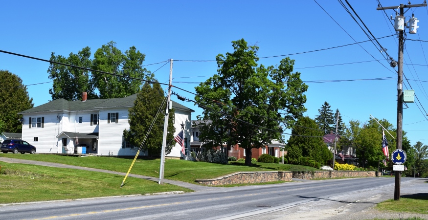
Blaine Village on U.S. Route 1 (2016)

named for Maine politician James G. Blaine, it is a “half-township” town, forming a rectangle only half the size of the typical 6-mile by 6-mile square township. In the heart of potato country, between Bridgewater and Mars Hill on Route 1, the town’s eastern boundary is shared with Canada.

Marshfield

Location Map for Marshfield

The main village lies just north of Machias on Maine Route 192 and on the Middle River, which empties into the Machias River. The captured British schooner Margaretta was hidden by being hauled out of sight up the Middle River. Marshfield is dotted with small lakes and the marshes that reflect its name.

Mars Hill

Mars Hill mountain with Wind Turbines from U.S. Route 1 in Blaine (2014)

As with many rural Maine towns, Mars Hill is a community of pickup trucks as an essential tool of the farm economy. See photos. It shares a main street, U.S. Route 1, with neighboring Blaine. Mars Hill is located on the Prestile Stream where U.S. Route 1 forks to Presque Isle and Route 1A leads to Fort Fairfield. Established in the 1960’s, the Big Rock Ski Area on Mars Hill was purchased in 2000 by the Maine Winter Sports Center.