February 4

February 1 2 3 4 5 6 7 8 9 10 11 12 13 14 15 16 17 18 19 20 21 22 23 24 25 26 27 28 29 1779 Incorporation of the town of Pittston 1824 Incorporation of the town of Burnham 1832 Incorporation of the town of Pembroke
"Those seeking cold, hard statistics on Maine communities won't be disappointed." —Bangor Daily News


February 1 2 3 4 5 6 7 8 9 10 11 12 13 14 15 16 17 18 19 20 21 22 23 24 25 26 27 28 29 1779 Incorporation of the town of Pittston 1824 Incorporation of the town of Burnham 1832 Incorporation of the town of Pembroke

The month of February of each year is designated as American History Month and the Governor of the State of Maine shall annually issue a proclamation inviting and urging the people of the State of Maine to observe the month of February as such in schools and other suitable places with appropriate ceremony and activity.…
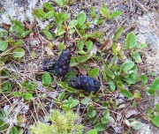
text by Craig McLaughlin Wildlife Biologist, Maine Department of Inland Fisheries and Wildlife Bear Facts Physical Characteristics The black bear, featured above at the Maine Wildlife Park in Gray, is the smallest of the three species of bears inhabiting North America (black, brown/grizzly, and polar), has the widest distribution on the continent, and is the…
a plantation in Aroostook County, organized in 1859 for election purposes and formally organized for general purposes in 1895. Named for Hannibal Hamlin, President Lincoln’s first Vice President, this northeastern community is bounded on the north by the St. John River. See map. The population is concentrated along the river on the Hamlin Road (U.S. Route 1A). Hamlin is subject to the Maine Land Use Regulation Commission, which has identified critical natural areas in the plantation.
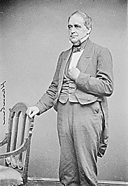
(1809-1891) a Representative and a Senator from Maine and a Vice President of the United States, was born at Paris Hill in Oxford County on August 27, 1809. He attended the district schools, Hebron Academy, and Kents Hill School. Hamlin took charge of the family farm and worked as a surveyor, a compositor in a…
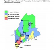
The following maps, created by the Maine Bureau of Health, illustrate the spread of AIDS cases over the past two decades. Click on each map to see a larger, clearer version. Figure 2.3 (figure numbers are from the 2009 DHHS report cited below) below illustrates Maine AIDS diagnoses by year of diagnosis from 1984 to…
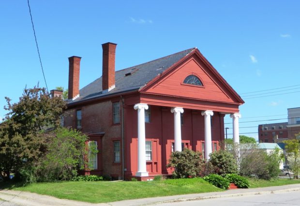
Bangor’s architectural history is influenced by the great houses built in the boom years of the nineteenth century, with its resident lumber barons and its related commerce. The city’s role as a regional hub led to the development of such institutions as the commercial center at West Market Square, the theological seminary, and the mental…
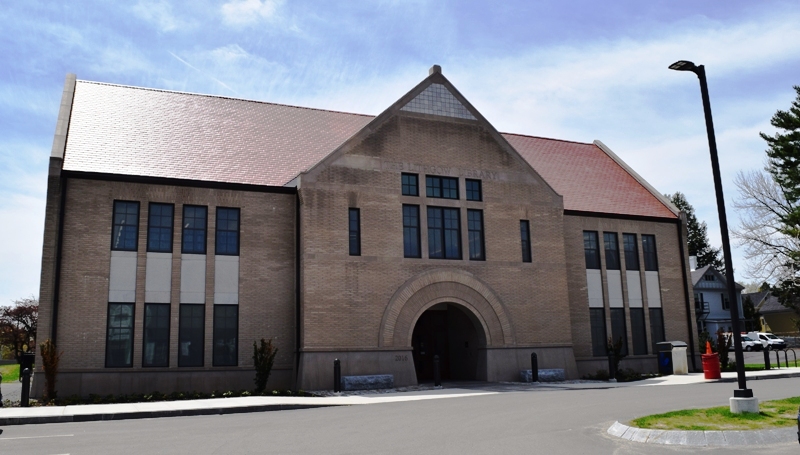
Lithgow Library, 2017 Addition to the 1896 StructureRegister of Historic Places – Augusta Photos, and edited text are from nominations to the National Register of Historic Places researched by Maine. Historic Preservation Commission.Full text and photos are at https://npgallery.nps.gov/nrhp Much of Augusta’s history is tied to…
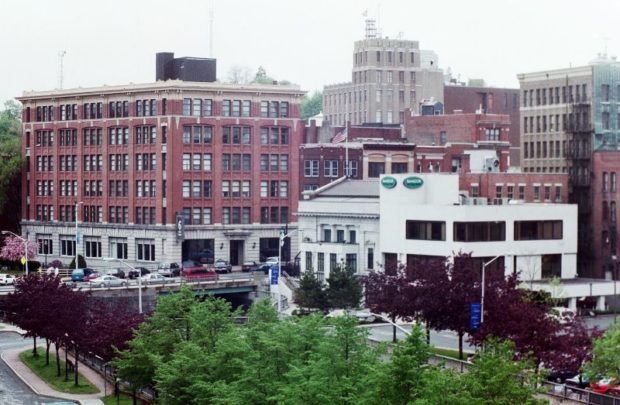
When Maine separated from Massachusetts in 1820, the vast Maine timberlands were put on the block for speculation, which drew investors and fortune hunters. By the 1830s, Bangor was building 500 structures annually. Dow Air Force Base provided an economic and civic boost during the Cold War until closing in 1968. The creation of Bangor International Airport turned the potential liability into an asset.
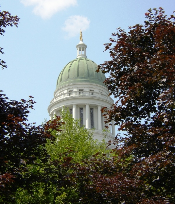
Capital since 1832, originally “Cushnoc,” it was the site in 1628 of the Pilgrims’ trading post, and in 1754, Fort Western. The Blaine House governor’s residence is here. The Pine Tree State Arboretum has 200 acres of rolling hills and meadows and a diversity of habitats.

Maine has about thirty universities, colleges, community colleges, two-year associate degree granting institutions, and the separate institutions of the University of Maine System. Each has its own identity, mission, and appeal to students from different areas of the state, with varying interests and levels of academic achievement. In 2003 the public technical colleges were renamed…
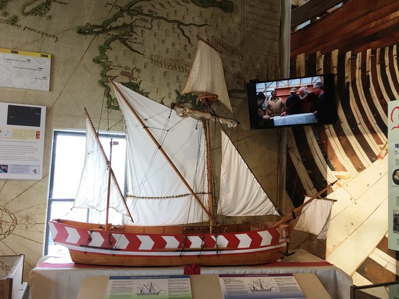
Model of a fully restored Pinnace Virginia in the Workshop in Bath The Popham Colony on the Kennebec River was the first organized attempt to establish a permanent English settlement in what we now call New England. The French had their own colony on an island in the St. Croix River, between Maine and New…

HIGH SCHOOL BASEBALL Virtually every high school in Maine has a baseball team. Some have produced strong players who have excelled in college and in the major leagues. As with other sports, championship categories have evolved over the years, with schools moving from one “class” to another as populations changed and new classes were added.…
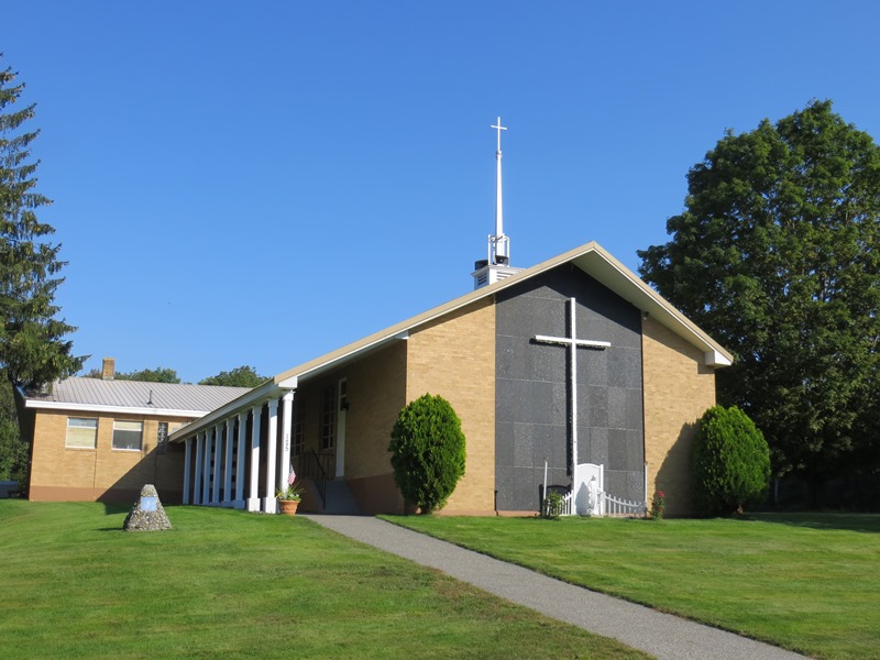
Originally, the area was known to the Native Americans as Massabesic and was acquired from Chief Fluellin in 1661 by Major William Phipps. Later a Shaker community settled on a hill overlooking what is now called Shaker Pond. Alfred is the county seat of York County and was the site of a Civilian Conservation Corps camp in the 1930’s.
The Maine economy has passed through stages typical of most states, with an initial focus on extractive activities (fishing, logging, slate and granite quarrying, other mining, and ice harvesting), and moving from subsistence farming to substantial agricultural development (apples, blueberries [see video in Hiram], potatoes, poultry). More Economic Data Ice harvesting, from ponds, streams or…

Most text from Jennifer Vashon, Wildlife Biologist. Maine Department of Inland Fisheries and Wildlife. Images, video and supplemental text by Jim Henderson. Along with Moose, the Encyclopedia features 15,000 images of lakes, farm buildings, barns, farmhouses, villages, cities, mountains, rivers, Did You Know… ♦ A lactating cow has the highest nutritional requirements of any moose…