| Year | Population |
|---|---|
| 1970 | 1,914 |
| 1980 | 2,028 |
| 1990 | 1,880 |
| 2000 | 1,627 |
| 2010 | 1,687 |
| Geographic Data | |
|---|---|
| N. Latitude | 46:47:41 |
| W. Longitude | 68:06:40 |
| Maine House | District 146 |
| Maine Senate | District 1 |
| Congress | District 2 |
| Area sq. mi. | (total) 34.9 |
| Area sq. mi. | (land) 34.2 |
| Population/sq.mi. | (land) 49.3 |
County: Aroostook
Total=land+water; Land=land only |
|
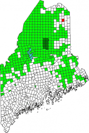
[WASH-burn] is a town in Aroostook County, incorporated on February 25, 1861 from Salmon Brook Plantation, formerly township T13 R3 WELS.
Named for Israel Washburn, governor beginning in the year of its incorporation, Washburn was settled in the 1820’s near the mouth of Salmon Brook as it enters the Aroostook River. Caribou Lake is in its northeastern corner.
In the late 19th century, its dependence on forest products was demonstrated by the presence of a sawmill, three shingle mills and a furniture factory.
Long a potato growing and processing area, the town lies northwest of Presque Isle on Maine Route 164, which curves through the town and links it with Caribou to the northeast.
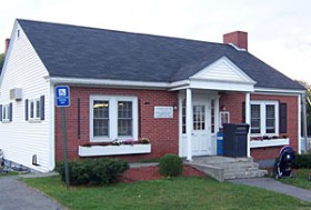
The Salmon Brook Historical Society and the Washington Memorial Library are both on Main Street.
The Aroostook River in Washburn, as well as neighboring Wade, is part of one of Maine’s “Focus Areas of Statewide Ecological Significance.” (See Wade for details.)
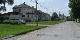
Washburn’s main village is in the southwest of the township on routes 164 and 238 near the Aroostook River, which crosses its southern portion. Two churches and a health center mix in with commercial buildings. Residential neighborhoods as just off the main street.
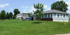
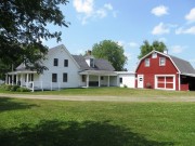
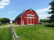
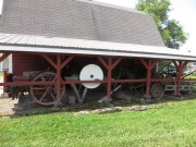
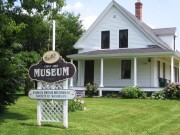
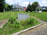
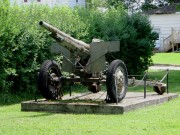
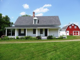
East of Washburn Road (the main street) near Wilder Street is a small campus containing a heritage park with a veterans memorial, a historic house, the Salmon Brook Historical Society and the Aroostook County Agricultural Museum.
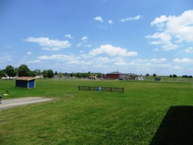
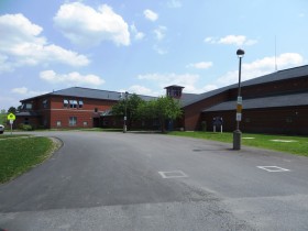
The David J. Lyon Washburn District Elementary School is adjacent to the Agricultural Museum across the school’s athletic field.
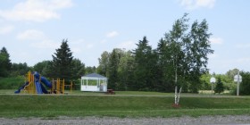
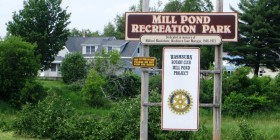
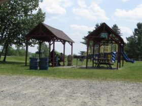
Washburn’s Mill Pond Recreation Park is just north of the village on Salmon Brook. The Aroostook Valley Rail Trail passes through the park.
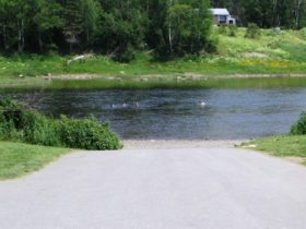
Aroostook River Waterfront Park in Washburn is off the South Wade Road near Bugbee Village. It includes a picnic area and a boat launch. The villages of Bugbee, Crouseville, and Adeline are along the river on Route 164.
Form of Government: Town Meeting-Council-Manager.
Additional resources
Carter, Ray H. An Informal History of Washburn, Maine: The Lives and Times of Salmon Brook, Aroostook County, Maine. Falmouth, Me. Kennebec River Press, Inc. c1987.
Cole, Louise. Washburn: 150 Years of Memories. Fort Fairfield, Me Our Maine Street Press. 2011. [University of Maine at Presque Isle, Library and Learning Resource Center]
* Maine. Historic Preservation Commission. Augusta, Me. Wilder House text adapted from National Register of Historic Places: http://pdfhost.focus.nps.gov/docs/nrhp/text/87000946.PDF
Tasker, William J. The Pioneer Homes of Washburn, Maine: Including Perham, Wade and Crouseville. Caribou, Me. Monkey Publishing. c2006.
Washburn, One Hundred Years of Progress 1861-1961. Maine 1961? [University of Maine at Presque Isle, Library and Learning Resource Center; Maine State Library]
Wilder Farmstead Museum of the Salmon Brook Historical Society of Washburn. Washburn, Me. Salmon Brook Historical Society. 1989? [Maine State Library]
[photo from Maine State Library site http://www.maine.gov/tools/whatsnew/index.php?topic=LibDirPublic&id=37571&v=Article2 (accessed April 25, 2012)]
National Register of Historic Places – Listings
Wilder, Benjamin C., House
The Benjamin C. Wilder House is a relatively unaltered house typical of upper Aroostook County’s mid-19th century period of settlement. Built about 1852, it is thought to be the oldest house in Washburn village. Benjamin Gushing Wilder (1828-1902), the son of Robert Wilder, an early settler, came to Washburn about 1843 with his parents.
Wilder’s had a variety store in Washburn in 1871. He soon switched to farming, occupying the house until his death. About 1920 the farm was acquired by William Jardine. His heirs sold it to the Salmon Brook Historical Society of Washburn.
The architectural significance of the Wilder house is primarily its status as a rare relatively unaltered example of mid-19th century houses in northeastern Aroostook County. The house retains much of its original late Greek Revival style character.*


