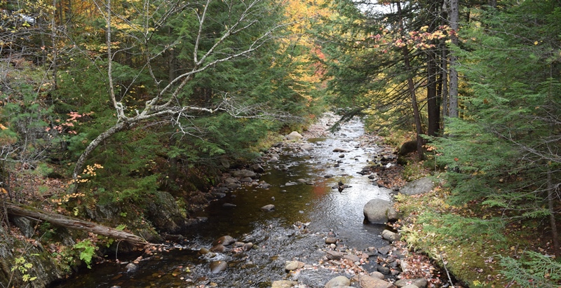
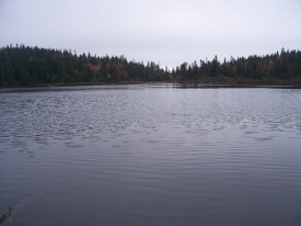
Sandy River at Smalls Falls and Roadside Picnic Area on Route 4 (2007)
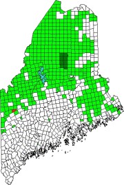
Township E is south of Sandy River Plantation, host to the next northerly section of the AT after Township D.
(E Township is a different township in Aroostook County.)
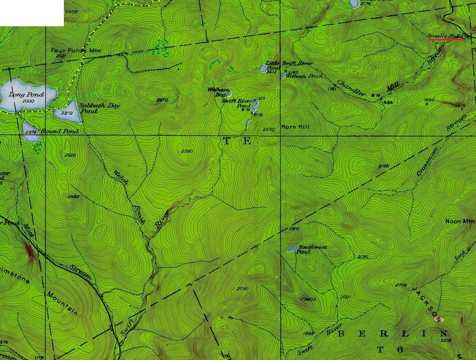
Township E, almost triangular in shape, extends eight miles from Long Pond in the west to the Sandy River in the east. The Swift River rises from Swift River Pond and runs south over twenty miles to join the Androscoggin River in Rumford and Mexico.
In the 19th century, it had sufficient status to be included in the U.S. Census counts. In 1840, 77 residents were reported; in 1850, 126 were reported. No report was issued in 1860, but in 1870 the count was 93. Thereafter, in 1880 and 1890 the population dropped to 27 and 29 respectively. No separate census reports have been issued since then.
The Appalachian Trail (light green dots on the map – click to enlarge) runs east-west along the northern portion of the Township in a Maine Public Reserve Land area. At the eastern third, it turns north into Sandy River Plantation. In 1949, the year of the historic topographic map, the Trail (yellow dots) traveled directly north from Sabbath Day Pond into Rangeley Plantation just east of Four Ponds Mountain.
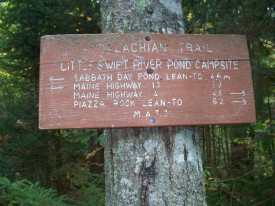
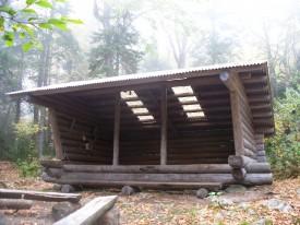
Four Ponds Public Reserve Land in Township E lies just east of Mooselookmeguntic Lake. The Appalachian Trail traverses the length of this 6,000 acre area with a lean-to at Sabbath Day Pond and a campsite at Little Swift River Pond. Hikers also pass Round Pond and Long Pond in the Reserve Land. Winter visitors pass through on snowmobiles on their way from Rangeley to Weld. Access is by the Appalachian Trail off Route 17 in Township D or Route 4 in Sandy River.
Seven miles east of the Sabbath Day Pond Lean-to, a roadside rest stop on Route 4 provides a fine view of Smalls Falls, on the Sandy River. This is a series of four falls, one upon the other, finally falling into a 20 foot wide circular pool. Access is at the Smalls Falls Rest Area and Trailhead where a bridge across the river doubles as an observation platform.
![]() <= South Appalachian Trail – click a boot North =>
<= South Appalachian Trail – click a boot North =>![]()


