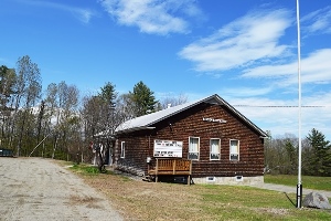
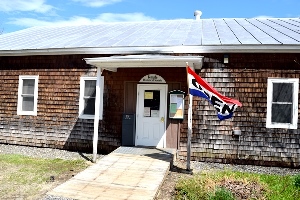
Temple Historical Society Shares Space with the Town Office
| Year | Population |
|---|---|
| 1970 | 367 |
| 1980 | 518 |
| 1990 | 560 |
| 2000 | 572 |
| 2010 | 528 |
| Geographic Data | |
|---|---|
| N. Latitude | 44:41:51 |
| W. Longitude | 70:17:17 |
| Maine House | District 114 |
| Maine Senate | District 17 |
| Congress | District 2 |
| Area sq. mi. | (total) 39.5 |
| Area sq. mi. | (land) 38.9 |
| Population/sq.mi. | (land) 14.8 |
County: Franklin
Total=land+water; Land=land only |
|
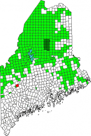
[TEM-pehl] a town in Franklin County, incorporated on June 20, 1803 from Abbotstown Plantation, formerly township T1 AP. It annexed land from Wilton in 1831. The name is from a New Hampshire community from which many settlers had come.
Settled in 1796, it was the site of an early and strong community of Quakers.
In the 19th century, though largely a farming community, it was home to three sawmills, an excelsior and stave mill, a grist mill, and a carriage factory. Its 1880 population of 580 was not much different from that of recent times.
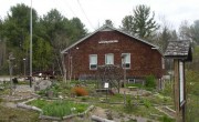
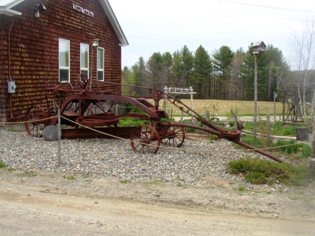
Temple’s interesting town office featured a flower garden and classic farming equipment on its grounds in 2005. By 2019 they had been replaced by a lawn.
At the western terminus of Maine Route 43, Temple, with its cluster of small mountains and small ponds, lies just northwest of Farmington. Derby Mountain is the highest at 1,911 feet.
The 64-acre Staples Pond, Temple’s largest, is east of Potato Hill. Two small inlets enter the northwest corner; its outlet flows south into Drury Pond.
Water quality is good for coldwater gamefish. Spawning and nursery habitat is minimal, so annual stockings of brown trout provide the fishery. Access is from Lake Drive off the Intervale Road.
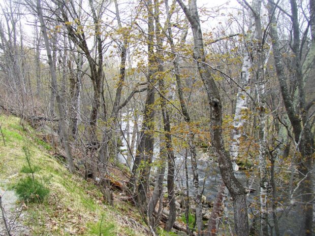
The 32-acre Drury Pond is located west of Porter Hill. Its main inlet enters from nearby Mud Pond. The outlet flows into Temple Stream.
Water temperatures reach critically high levels at all depths during the warm summer months. The weedy shoreline provides good habitat for the warmwater fish. It is accessible from the Day Mountain Road, off the Intervale Road.
Form of Government:
Additional resources
Dennison, George. Temple. South Royalton, Vt. Steerforth Press. 1994.
Maine. Department of Inland Fisheries and Wildlife. “Staples Pond.” 2002. http://www.maine.gov/ifw/fishing/lakesurvey_maps/franklin/staples_pond.pdf; and “Drury Pond.” 2001. http://www.maine.gov/ifw/fishing/lakesurvey_maps/franklin/drury_pond.pdf (accessed April 7, 2014)
*Maine. Historic Preservation Commission. Augusta, Me. More text and photos from National Register of Historic Places: http://pdfhost.focus.nps.gov/docs/nrhp/text/86001336.PDF, http://pdfhost.focus.nps.gov/docs/nrhp/photos/86001336.PDF
Pierce, Richard Donald. A History of Temple, Maine: Its Rise and Decline. Boston University Graduate School dissertation. 1946.
**Roorbach, Bill. Temple Stream: a rural odyssey. New York : Dial Press. 2005.
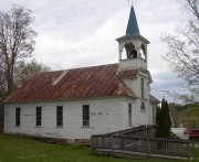
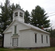
National Register of Historic Places – Listings
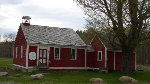
Temple Intervale School
[Temple Intervale]
Located northwest of Temple village on a road which buries itself in a dead end at the foot of Maine’s western mountains, the Temple Intervale School is by far the oldest school building in western Maine and one of the two or three oldest in the State. As a local district school it undoubtedly had the longest continued use in this capacity of any on record being in continuous service from 1811 until 1958. In 1810 School District met to raise money to build and furnish a schoolhouse. In 1811 town meeting was held at the completed building.*


