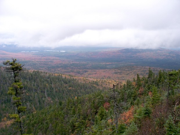
A view from the Appalachian Trail on ridges in TB R11 WELS (2007)
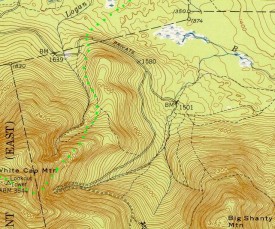
This township, in Piscataquis County, is immediately southeast of TA R12 WELS, host to the next northerly section of the Appalachian Trail. The AT briefly (about two miles) passes through the northwest corner of the township as it ascends White Cap Mountain for southbound hikers. See the green dots tracing the Trail by enlarging the detail map below.
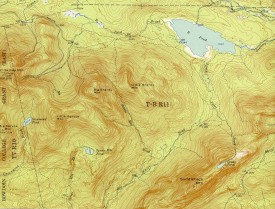
Other mountains in the township include Big Shanty, Little Shanty, Little Spruce, Saddleback, and Little Wilkie. The two-mile long B Pond is the largest water body. A single shelter near Logan Brook occupies the valley between Big Shanty and White Cap mountains.
Topographic maps were created from the University of New Hampshire Dimond Library, Documents Department & Data Center, Historic USGS Maps of New England & New York, accessed 1/16/2008: Jo-Mary Mountain, ME Quadrangle (1952), http://docs.unh.edu/nhtopos/Jo-MaryMountain.htm.
Photo courtesy of Brady G. Williams.


