Grafton TWP
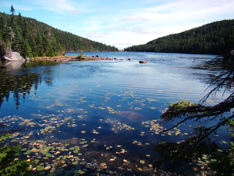
Grafton Notch State Park features the Notch formed by Old Speck Mountain and Baldpate Mountain on the Appalachian Trail. In the Notch, Screw Auger Falls has worn deep holes into solid rock by the swirling water of the Bear River.
"Those seeking cold, hard statistics on Maine communities won't be disappointed." —Bangor Daily News
Grafton Notch State Park features the Notch formed by Old Speck Mountain and Baldpate Mountain on the Appalachian Trail. In the Notch, Screw Auger Falls has worn deep holes into solid rock by the swirling water of the Bear River.
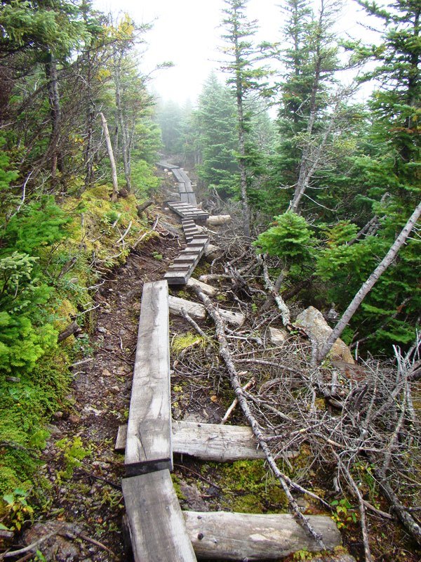
a township in Oxford County, just north of the town of Gilead on the border with New Hampshire. It is home to no lakes, few people, several mountains in the Mahoosuc Range, and the source of Sunday River. It is the entry point for the Appalachian Trail in Maine in a section of the state’s Public Reserved Land. From here it is 281.4 miles to go to reach the summit of Mount Katahdin.
is the name for Township T2 R6 WBKP, which contains the Chain Lakes, a waterway that provided Benedict Arnold’s expedition with the final passage to Canada on October 25th and 26th in 1775. The North Branch of the Dead River flows south from the lakes and provided the expedition with a path to them. Above…