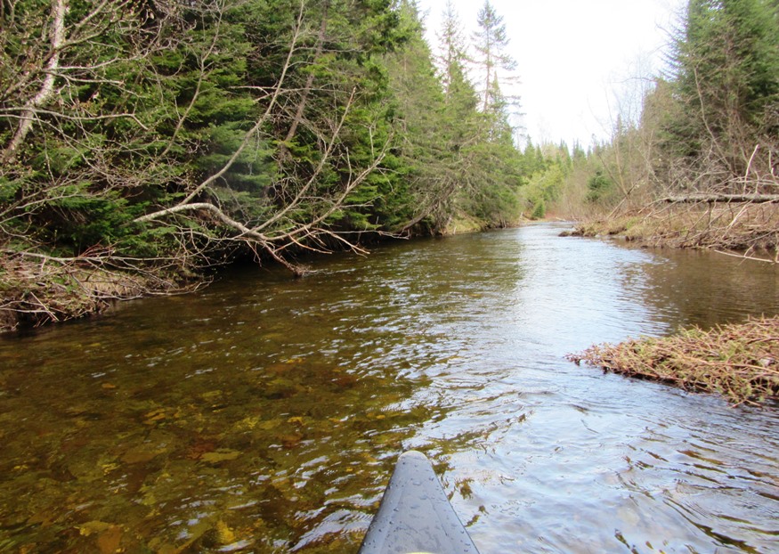
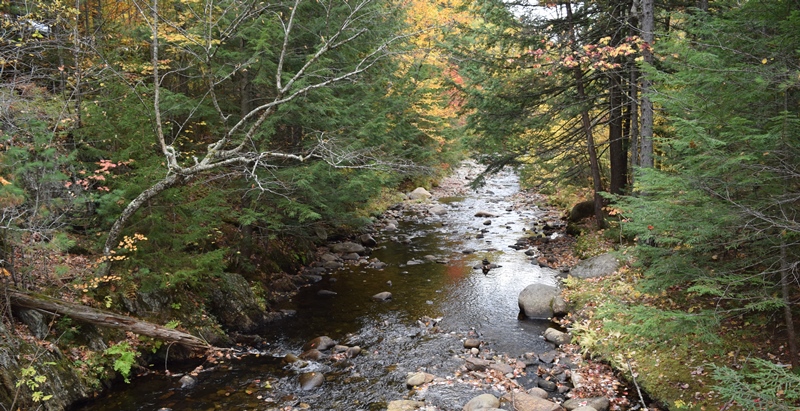
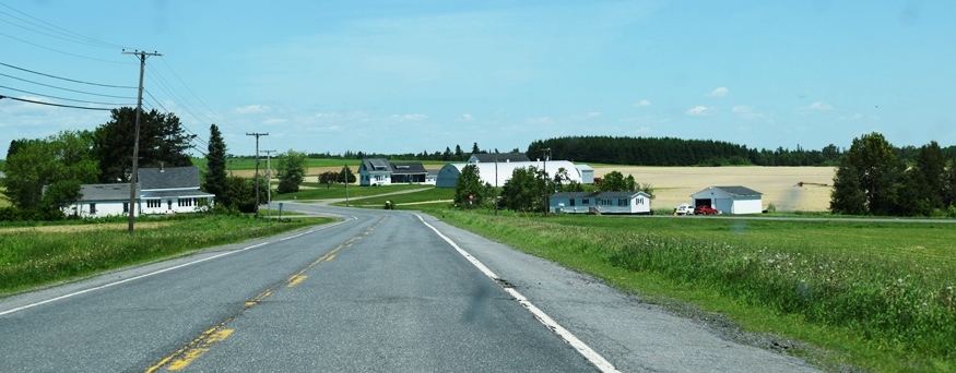
Coplin Plantation

This image has an empty alt attribute; its file name is 190520033-Copy-620x393.jpg

a plantation in Franklin County, organized in 1893, is just south of Flagstaff Lake on Maine Route 16. See photo. The South Branch of the Dead River flows through on its way to the lake. Two sections of Maine’s Public Reserved Lands, in the Flagstaff Region, lie within the plantation.

Chesuncook

    [chu-SUN-cook] is an unorganized township (T5 R13 WELS) in Piscataquis County. The name means “at the place of the principal outlet,” according to McCauley. Chesuncook Lake extends south to T3 R12 WELS. Ripogenus Dam, constructed 1916-1920 “at the place of the principal outlet,” vastly expanded the lake and provided water storage for log…

Caswell

in Aroostook County, organized in 1879, includes a major portion of the Aroostook National Wildlife Refuge. It also hosts a tract of Maine’s Public Reserved Land just north of Mud Lake. Closing of Loring Air Force Base has sharply reduced its population.

Bradford

Fine House and Barn on the Storer Road [Route 155] in Bradford (2014)

Bradford is a rural community with no lakes or mountains. In the early 20th century, Bradford Corner hosted an auto garage and wagon shop and Kingsbury’s Store, which housed a post office. A blacksmith had his shop where the library now sits. See photos.

Amherst

A web of dirt roads leads into the hinterland where several streams, the West Branch of the Union River, and a half dozen small ponds attract fishermen, hunters, and vacationers. Amherst was the site of an unsolved a homicide, in 1976. Video. Named for Amherst, New Hampshire, it is located on the east-west Maine Route 9, known as the Airline.

Washington County Nature Preserves

The Trail in the Edmunds Division, Moosehorn Refuge (2004)

Commissary Point. With over two miles of undeveloped, scenic views, highly productive shorefront and wildlife habitat along Cobscook Bay, the Point includes 200 acres plus a 50-acre easement. It lies in Trescott Township across Whiting Bay from Tide Mill Farm and has similar high-quality shoreline values, including over two miles of undeveloped, highly productive shorefront…

Penobscot County Nature Preserves

Sunkhaze Meadows Refuge Notice (2005)

Hirundo Wildlife Refuge, is in Alton and Old Town. The site of an archaeological project along the Pushaw Stream, where evidence suggests occupation by prehistoric Indian cultures dating back approximately 7,000 years. Although no excavation is presently going on, and much of the excavation site has been back-filled, there is written information about the project…

Oxford County Nature Preserves

Mooselookmeguntic Lake from Height of Land in Township D (2007)

Lake Umbagog National Wildlife Refuge, established in 1992 spans the Maine-New Hampshire border. 5,000 of the total of 17,500 acres lie in Maine in Upton. A Magalloway River trail leads off Maine Route 16. In addition, about 20 miles of logging trails are open to hikers. Richardson Public Reserved Land, Adamstown and Richardsontown Townships. Located…

Franklin County Nature Preserves

Pond in Bigelow Preserve (2003)

Bald Mountain Public Reserved Land, Rangeley. Bald Mountain’s one mile trail to the summit offers panoramic views of Rangeley, Cupsuptic and Mooselookmeguntic lakes and the Height of Land. Especially popular in the fall with autumn colors, the area contains more than 200 species of wildlife in its 1,873 acres. A short trail leads to the…

Nature Preserves

Nature Preserves by County

Maine has hundreds of special places set aside for perserving natural areas and wildlife. Nature preserves, for the purposes of this article, include the following: public reserved lands, conservation areas, wildlife refuges, bird sanctuaries, etc. Click on a county for an annotated list of preserves and links to detailed articles when available. According to a…

T1 R11 WELS

Detail of 1952 Jo-Mary Mountain, Quadrangle Topographic Map

The township is completely within a tract of Maine Public Reserve Land and lies immediately south of Rainbow Township, host to the next northerly section of the Appalachian Trail. Traveling south, hikers encounter Nesuntabunt Mountain and Nahmakanta Lake that reaches back into Rainbow Township. According to a 1960 survey, Nahmakanta (Abenaki for “plenty of fish”)…

Wyman Township

The Horns Pond on Bigelow Mountain (2003)

The Bigelow Public Reserve Land tract is located in Wyman Township, Bigelow Township, and Dead River Township in Franklin and Somerset counties. All three townships are contiguous and lie just south of Flagstaff Lake. East of Stratton in the town of Eustis, about 40 miles north of Farmington, it holds over 36,000 acres of public…

Sandy River Plantation

Mountain Ranges from the Saddleback Mountain Trail on the AT (2004)

About 35 miles northwest of Farmington on Maine Route 4, just south of Rangeley, the community marks the source of the Sandy River in the Sandy River Ponds. See map, video and photos. Four Ponds Public Reserve Land lies just east of Mooselookmeguntic Lake. Access is by the Appalachian Trail off Route 4 in Sandy River.

Township E

Sandy River at Smalls Falls and Roadside Picnic Area on Route 4 (2017)

 Sandy River at Smalls Falls and Roadside Picnic Area on Route 4 (2007) Township E is south of Sandy River Plantation, host to the next northerly section of the AT after Township D. (E Township is a different township in Aroostook County.) Township E, almost triangular in shape,  extends eight miles from Long Pond in…