Hope

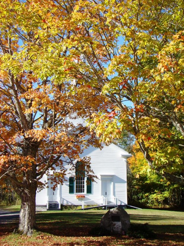
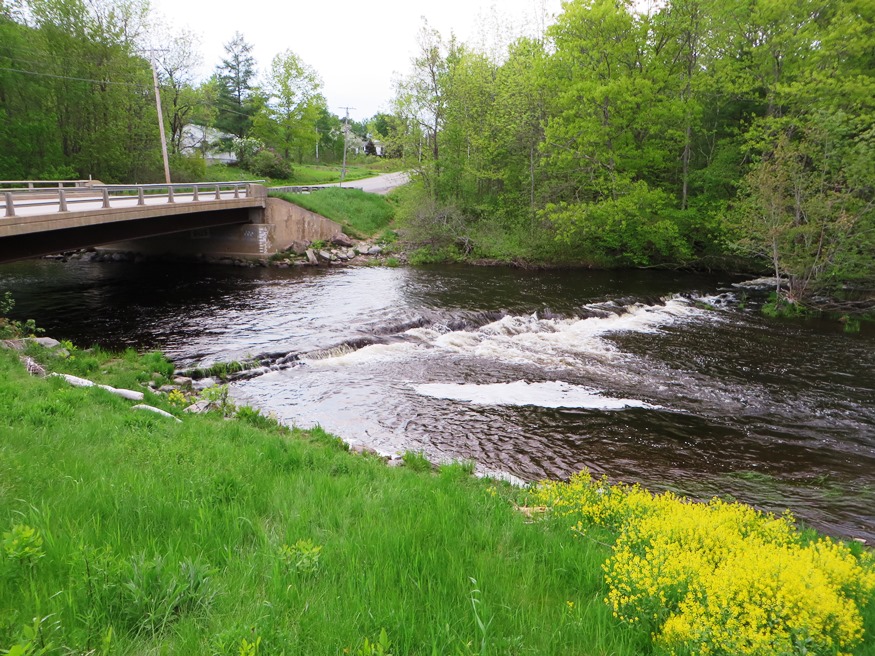
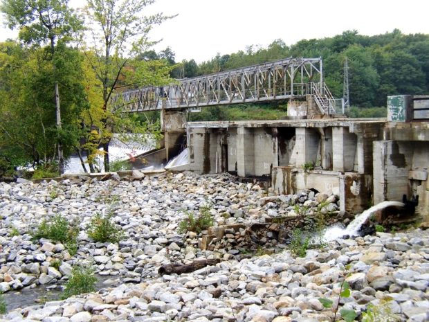
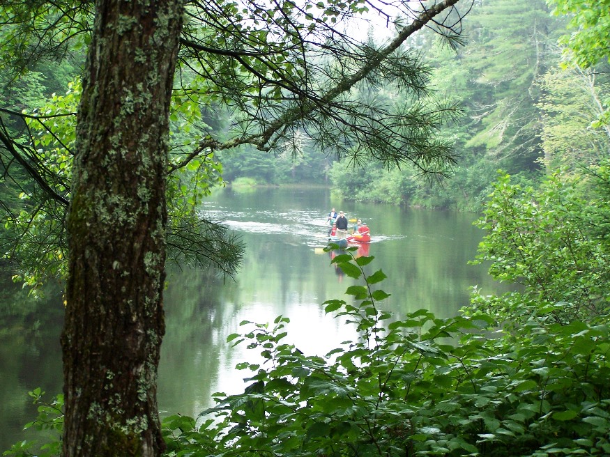
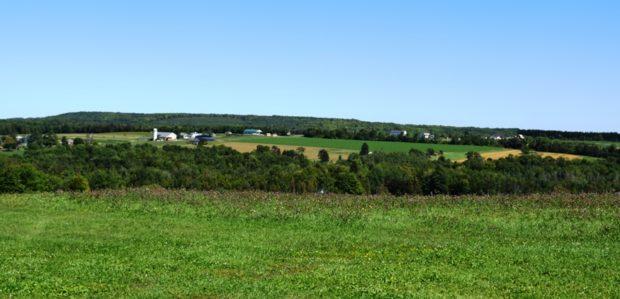
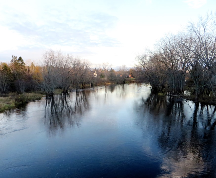
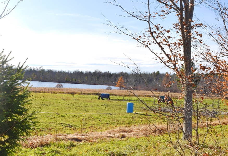
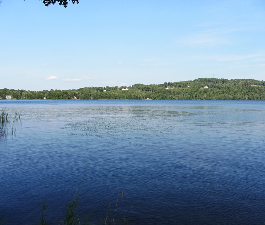
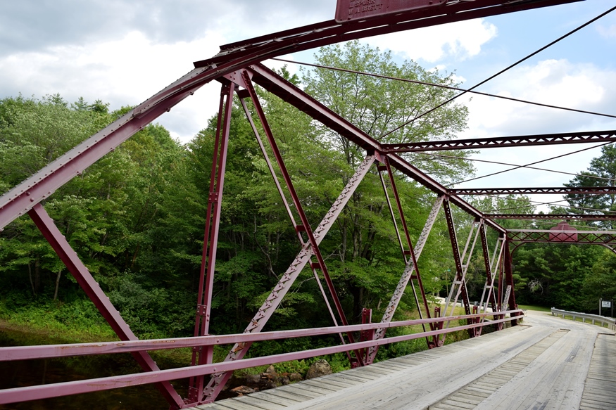
Located just northwest of Camden on Maine Routes 105 and 235, Hope has a cluster of lakes and ponds attractive to summer vacationers. See photos. The town’s population has more than tripled since 1970, and in the 2000-2010 decade continued growing by over 17 percent. The town hosts at least one extensive orchard featuring apples and pears, among other products.

Hollis

Just 10 miles northwest of Biddeford-Saco, the town was the summer home of Kate Douglas Wiggin, author of Rebecca of Sunnybrook Farm among others. See photos. Her house is now the library. Wildfires of 1947 wiped out many historic homes, so only about 20% of all houses are older 50 years. The village with most commercial development is Hollis Center, with restaurants, gasoline stations, a food market and other service businesses. Poland Spring bottling plant was the only substantial industrial use in Hollis as of 2004.

Holeb Township

Holeb was and is a place for harvesting forest products. Amos A. Logging crews and camps were here and in the 19th century. See photos. Most of the shores on Attean and Holeb Ponds, and a significant length of the Moose River including Holeb Falls, lie within the Maine Public Reserved Lands. Canoe trips are frequent.

Holden

Mill Stream Winding through East Holden (2004)

The town has substantial frontage on Brewer Lake, which is shared with neighboring Orrington. At East Holden, where Maine Route 46 crosses 1A, a commercial area has blossomed in recent years. See photos. Administrative offices, library, and museum of the Grand Lodge of Maine Masons are located at the crossroads.

Hodgdon

Panoramic View from Hidden Spring Winery in Hodgdon (2019)

a farming community, lies just south of Houlton on U.S. 1 where the South Branch of the Meduxnekeag River flows north to an eventual outlet in Canada. See photos. Most of the Lt. Gordon Manuel Wildlife Management Area, including the related dam and the Hodgdon Deadwater, lies in the southwestern portion of Hodgdon.

Hiram

Routes 5/13 entering Hiram Village from the North (2010)

The villages of Hiram and East Hiram are divided by the Saco River. Nearby Mount Cutler sports a hiking trail; a chain of ponds hugs the western border above South Hiram. Raymond Cotton, a storekeeper and author, made many home movies. See photos & 1938 video on blueberry farming. The community buildings (churches, library, grange, museum) are within walking distance in Hiram village.

Highland

Small Pond with Beaver Lodge on the West Side (2013)

The Lexington-Highland fire station is located at a small settlement is at the junction of Sandy Stream Road with the Long Falls Dam Road about 32 miles northwest of Skowhegan. See photos. The small assessors office appears to have been a one-room schoolhouse.

Hersey

Hersey Village is in the extreme west of the township on Route 11. Townline Road is its northern boundary, separating it from Moro Plantation. The interior of the township is accessible on the Retreat Road, which extends from Route 159 in Crystal in the south to Route 11 in Hersey’s northwest corner. The 137-acre Crystal Lake is the only one in the town.

Hermon

Dysart

Now a growing suburb of Bangor, it lies just west of the city on U.S. Route 2 and Maine Route 100. See photo. Hermon hosts the Northern Maine Junction rail yard in its southeast corner along U.S. Route 2. The property has been used for maintenance, refueling, and railcar classification since 1905.

Hebron

Hebron Academy (2003)

Hebron Academy is a private school established in 1804 by Revolutionary War veteran William Barrows. Maine U.S. Representative Stanley Tupper graduated from the Academy. See photos. The growing community has more than doubled its population since 1980. It lies within easy commuting distance northwest of the Lewiston-Auburn area.

Haynesville

Mattawamkeag River crossing under U.S. Route 2A in Haynesville (2014)

Located on U.S. Route 2A in Aroostook County, this wooded community has recently experienced a major decline in population. See photo. A military road to supply the Houlton post was completed in 1832, providing easy access to the town. Scenic canoeing and fishing is renowned here. The road through the Haynesville Woods was immortalized in the hit song sung by Fort Fairfield’s Richard “Dick” Curless in 1965 – “A Tombstone Every Mile.”

Hartland

Horses Grazing near Starbird Pond in Hartland (2019)

About 19 miles northeast of Skowhegan, Hartland village lies on the Sebasticook River at the junction of Maine Routes 23, 43, 151, and 152. See photos. Built before the Civil War, the Academy Building ceased its educational function in 2001 when a new school was built.. It became the Town Hall, hosting town meetings and offices. Woolen mills and tanneries were 19th and early 20th century industries.

Hartford

Lake Anasagunticook on Main Street (Route 140) in northern Hartford is surrounded by seasonal and year-round houses. See photos. Church Street, an extension of Staples Hill Road in Canton, is a rural road with farms, the old school and community church, with access to the southern shore of the Lake. The area was first settled by Edmund Irish in 1788. The J&) Irish Museum is on Route 140.

Harrison

Historic 1912 Ryefield Bridge over the Crooked River between Harrison and Oxford (2017)

A growing community, its population has consistently expanded over the past forty years. From 2000 to 2010 alone it grew by nearly 18%. See photos and video. By 1847 a wood products mill, known as Scribner’s Mill, was in operation. An effort to restore it is underway. Just north of Naples, Harrison has substantial frontage on Long Lake, which it shares with Bridgton.

Harrington

In 1858 the Jefferson Davis trail was cut to haul supplies and instruments to the top of Humpback Mountain for the U.S. Coast Survey. An elegant old church, adjoins the Gallison Memorial Library on U.S. 1. See photos. The town has sustained its population base when others in Washington County have declined. From 2000 to 2010 the number of residents expanded by nearly 14%.

Harmony

Higgins Stream above the Bridge on Route 154 in the Village, likely the site of an old mill (2014)

Harmony has substantial frontage on Great Moose Lake and the Sebasticook River which flows into it from Mainstream Pond. Boat launch facilities are available at the Lake and the Pond. See photos. U.S. Representative Clyde H. Smith (husband of Margaret Chase Smith) was born here.

Hanover

Kiosk at the River, noting the Androscoggin River Trail, by the Mahoosuc Land Trust (2014)

Hanover is experiencing home and vacation property development at a more rapid pace. The small town is receiving more interest within the greater area as development in neighboring larger towns is spreading. As with many Maine communities, the number of full-time residents is declining as non-resident vacation homes increase.

Hancock

Egypt Bay from Route 182 (2004)

Hancock Village lies south of the junction on a peninsular, with Taunton Bay on its northeast and Skillings River on the southwest. Further south are the villages of South Hancock and Hancock Point. See photos. A Wildlife Management Area near Egypt Bay is open to the public for primitive forms of recreation including hunting and trapping.

Hampden

Apparent former Dam Site for the Old Emerson Mill on Emerson Mill Road (2014)

The town is a suburb of Bangor lying just south of that city on U.S. Route 1A. It hosts a regional U.S. Post Office processing center. Hampden Academy was established in 1803. The Grange Hall, one of the first chartered Granges in 1880. See photos. While teaching here Stephen King was spending his spare time writing short stories and novels. It is the birthplace of social reformer Dorothea Dix. Settled in 1767 it was once known as Wheelersborough after the first settler, carpenter, and mill owner.