Dead River TWP
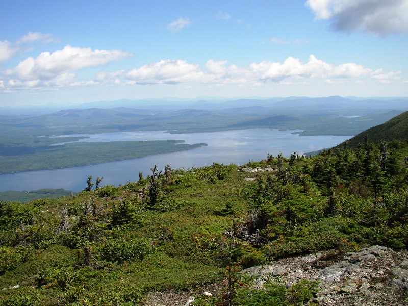
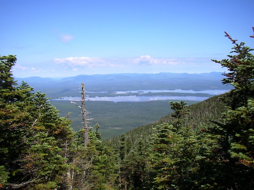
Flagstaff Lake from Bigelow Mountain (2003) The township is immediately west of Carrying Place Town Township, host to the next northerly section of the AT. Little Bigelow Mountain, Myron H. Avery Peak, and West…
"Those seeking cold, hard statistics on Maine communities won't be disappointed." —Bangor Daily News
Flagstaff Lake from Bigelow Mountain (2003) The township is immediately west of Carrying Place Town Township, host to the next northerly section of the AT. Little Bigelow Mountain, Myron H. Avery Peak, and West…
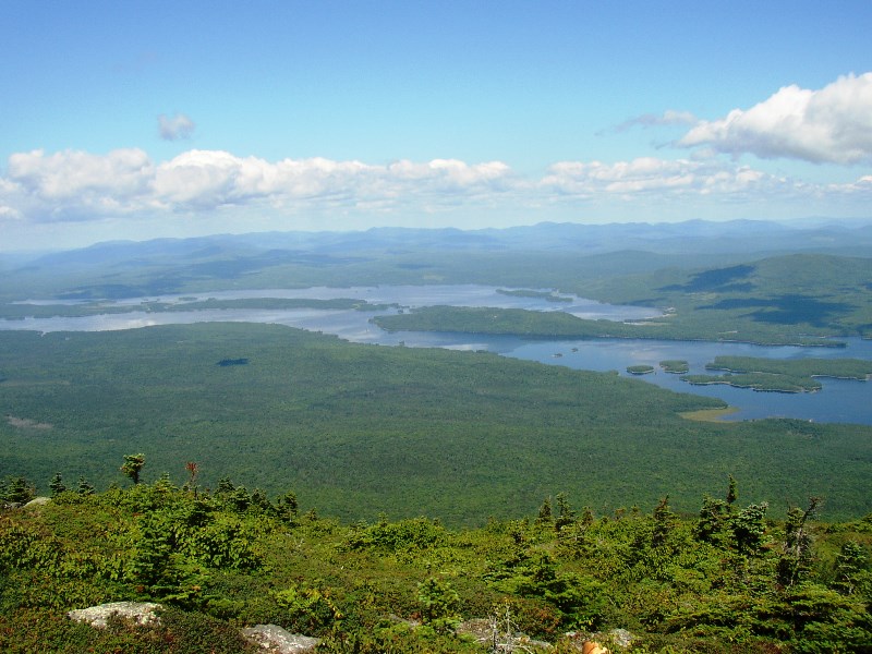
This is not Cedar Lake (an error) This small Bigelow (Township) in Somerset County township in Somerset County encompasses the northern section of the Bigelow Preserve of Maine Public Reserved Land. With no improved roads, access is from Stratton Village along the Old Dead River Road. One is soon at campsites and a trailerable…
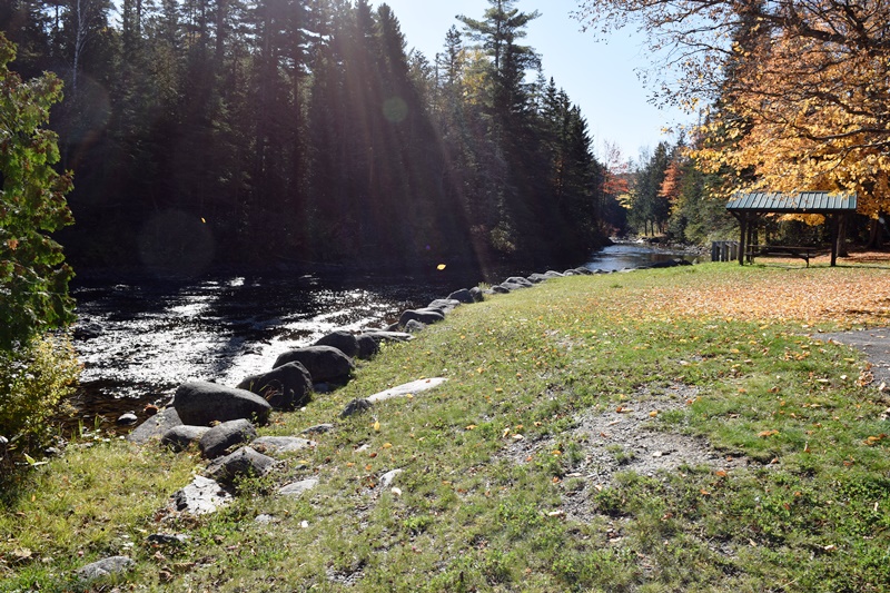
This Franklin County township contains a section of the Dead River’s North Branch, along with several ponds, the largest of which is Jim Pond. The smaller Greenbush Pond is more accessible, but with a limited fishery. Route 27 follows the River on its journey to Eustis where it merges with the South Branch to create…
The Dead River is one of the longest and most storied waterways in Maine. Its North Branch flows south from the Lower Pond in Chain of Ponds, Through Alder Stream Township and Jim Pond Township. The South Branch flows north from Saddleback Lake in Rangely through Dallas Plantation, Lang Township and Coplin Plantation. …
Also known as T2 R5 WBKP, this township is predominantly Penobscot Indian Territory, distributed as the result of the 1980 Maine Indian Claims Settlement. The North Branch of the Dead River flows through its northeast corner, beginning at Sarampus Falls. The turbines of the Kibby Mountain Wind Project are visible, from the falls, in the…
North of Dallas Plantation, Lang Township (originally T2 R3 WBKB) is a rural area that has one major improved road, Maine Route 16, and the short Kennebago Road. While sources are sketchy, its population in 1870 was 36, in 1880, 31. A 1936 topo map appears to show about 15 buildings. U.S. Census does not…

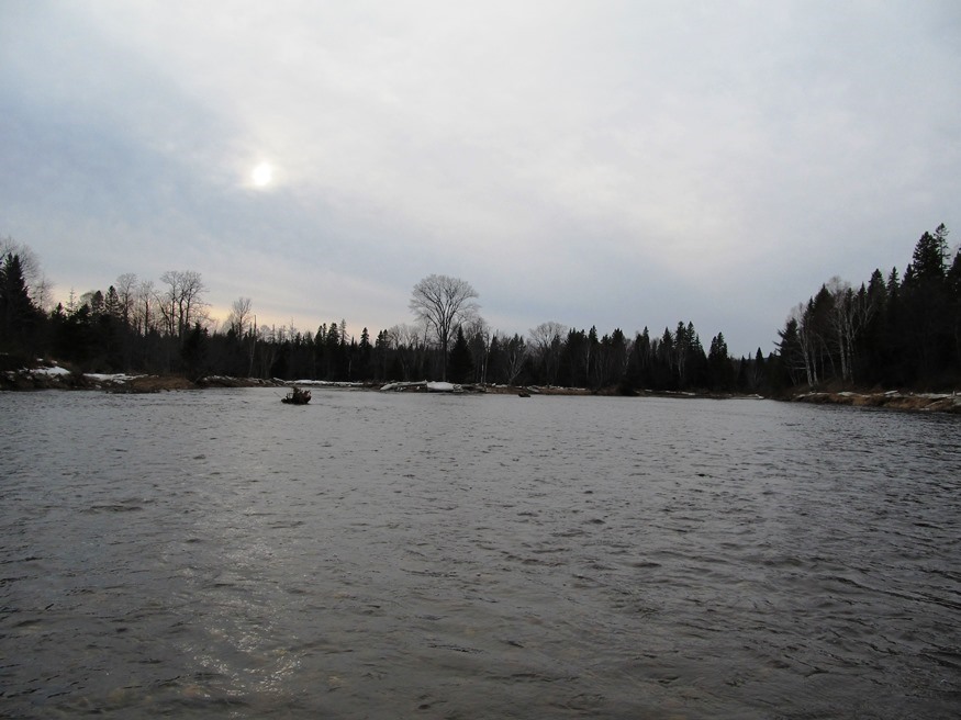
T3 R4 BKP WKR This township hosts the Long Falls Dam on the Dead River. That dam maintains the level of Flagstaff Lake, but required the removal of the village of Flagstaff, which was flooded as a result of its construction.. There was a small natural lake at Flagstaff. In 1950, Central Maine Power Company…
")
While not as important to the local economy as it was in the 19th Century, farming still thrives in some areas of the community. Amid the farms of rural Leeds, the DeCoster mill, on a railroad line in North Leeds, dominates the landscape. The east shore of Androscoggin Lake brings several miles of shore frontage to the community in the northeast corner, including Stinchfield Beach. The Androscoggin River forms the western boundary separating Leeds from Turner.
[FLAG-staff] plantation was formally organized on March 5, 1895, though it had been organized for election purposes in 1851, 1865 and 1870. Flagstaff and nearby Dead River Plantation were inundated with water from the Central Maine Power Company’s Long Falls Dam on the Dead River in 1949, after a planned and complete relocation of its…
")
In 1775 the area had been the scene of Benedict Arnold’s march to Quebec. He was accompanied by Col. Timothy Bigelow, who returned to the area and for whom Bigelow Mountain is named. Eustis village in the north of the township, is on the North Branch of the Dead River and is the smaller of the two villages, the other being Stratton.
formed in 1895, a small but fast growing community, it contains two public lots and a four-season trail system. It is adjacent to Rangeley, and near the Rangeley Lakes and the Saddleback ski areas.
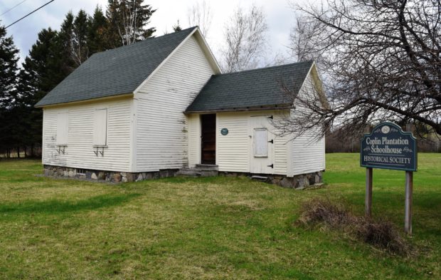
a plantation in Franklin County, organized in 1893, is just south of Flagstaff Lake on Maine Route 16. See photo. The South Branch of the Dead River flows through on its way to the lake. Two sections of Maine’s Public Reserved Lands, in the Flagstaff Region, lie within the plantation.
The Forks village is at the confluence of the Kennebec and Dead Rivers. Appalachian Trail southbound hikers enter from Caratunk at the southeast corner at the very southern tip of Moxie Pond, trekking over Middle Mountain, then north of Pleasant Pond over Pleasant Pond Mountain before reentering Caratunk.
is the name for Township T2 R6 WBKP, which contains the Chain Lakes, a waterway that provided Benedict Arnold’s expedition with the final passage to Canada on October 25th and 26th in 1775. The North Branch of the Dead River flows south from the lakes and provided the expedition with a path to them. Above…

The bulk of Flagstaff Lake (maps on right) cover Flagstaff, Bigelow, and Dead River townships in western Somerset County. See also Bigelow Township.The North Branch of the Dead River (maps on left) flows through the town of Eustis. Comparing the course of the Dead River in 1928 (upper maps) with that in 1956 (lower maps),…