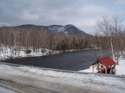
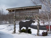
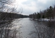
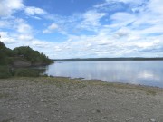
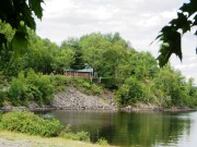
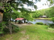
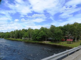
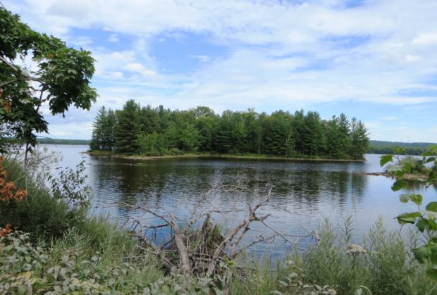
 Grand Lake Matagamon from the Baxter Park Access Road before the Matagamon Gate (2014)
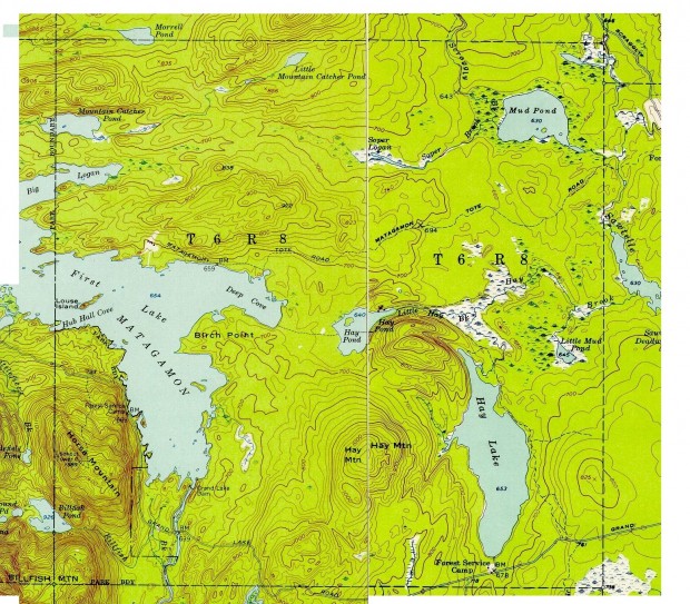
This is an unorganized township in Penobscot County just east of the north entrance to Baxter State Park. It is the gateway to that portion of the Park by way of the Grand Lake Road from Shin Pond along its southern boundary. The eastern portion of Grand Lake Matagamon dominates the western portion of the township. Hay Mountain and Hay Lake, along with Mud Pond in the north, are the major geographic features of the eastern portion.
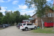
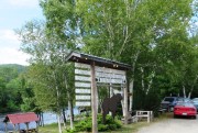
Matagamon General Store and campground along the East Branch of the Penobscot offer campsites, supplies and fuel for vehicles and snowmobiles alike.
Grand Lake Matagamon, the source of the East Branch of the Penobscot River, lies on the east side of the Grand Lake Road on the way to the north entrance to Baxter Park. Winter campers at South Branch Pond often use cross country skis to travel the approximately 12 miles, after parking near the campground. Some hire snowmobiles with a sled to carry extra gear; some opt for that easier mode both ways.
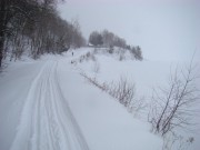
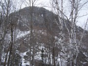
Horse Mountain looms on the south side of the Road, which is not plowed in winter beyond a few buildings near the East Branch. Snowmobiles break whatever trail emerges after storms.
[Winter photos, February 2009; Summer photos, August 2014]
Additional Resources
Brown, Fred Hopkins. An Investigation of Run-off and Storage Possibilities on the East Branch of the Penobscot River. 1921 [Thesis (B.S.) in Civil Engineering–University of Maine, 1921]
Packard, A. S. (Alpheus Spring), 1839-1905. Penobscot East Branch in 1861: from the diary and letters of Alpheus Spring Packcard. Edited by Kenneth A. Henderson. Boston. Appalachian Mountain Club. ca. 1930?
Probert, Randall. Mysteries at Matagamon Lake. Bethel, Me. Randall Enterprises. c2003. (Bethel, Me. Maine Press)
Topographic maps were created from the University of New Hampshire Dimond Library, Documents Department & Data Center, Historic USGS Maps of New England & New York, accessed 11/5/2010: Shin Pond, ME Quadrangle (1954), http://docs.unh.edu/ME/shnp54nw.jpg; and Traveler Mountain, ME Quadrangle (1955), http://docs.unh.edu/ME/trvl55ne.jpg.


