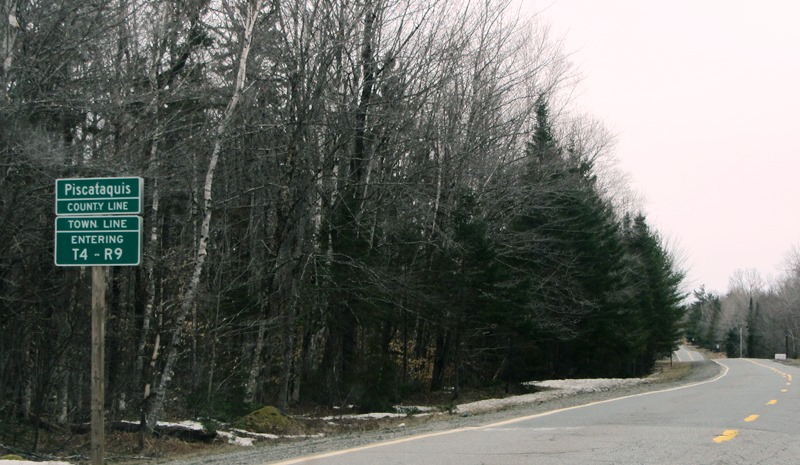
Piscataquis County Line Entering T4 R9 WELS
Community
This township is in north central Maine in Piscataquis County. It is dominated by Seboeis Lake and the Seboeis Maine Public Reserved Land, which surrounds most of the Lake.
Two small settlements, Schoodic and Packards, are in the west of the township along a rail line. Some vacation homes exist along the lake shore.
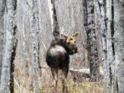
An unfortunate, mange afflicted moose appeared along 1Route 11 in late April, 2014. It was slow to move, but did oblige a full-face pose for the camera.
Lakes
Seboeis Lake
The full lake covers 4201 acres, about 80% of which is in T4 R9 NWP, with the balance, in the south, in Lake View Plantation. Sixty-nine feet deep at its deepest, the Maine Department of Inland Fisheries and Wildlife notes,
Seboeis Lake has rocky, rugged shorelines interspersed with many sand beaches. Unlike the scenic monotony of ·many large lakes where the eye views miles of uninterrupted shoreline, Seboeis Lake’s pine covered islands and many secluded, rock-studded coves provide varied beauty. There are few camps on the lake, although there is a tar-and-gravel access road leading from Maine Highway 11 to a boat landing near the north end of the lake. Seboeis Lake has diversified habitat which provides suitable water quality and spawning facilities for many different species of fish.
Nowthwest Pond
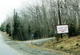
This waterbody is an isolated, but connected, section of Seboeis Lake west of the main lake. It is located near the Packards settlement off the Trestle Road. A set of sports/recreational cabins is located on the Jo Mary Trail off Route 11.
Shallow Pond
This small pond, northeast of Seboeis Lake, is fed by Jordan Brook and West Seboeis Stream. Its outlet is near Sand Cove on Seboeis Lake.
Campsites
A portion of Seboeis Public Reserved Land, maintains six “primitive” campsites with picnic tables, fire rings and privies. Four are accessible by road on Shallow Pond. Two others at Sand Cove and Sand Cove Point are accessible only by water.
Additional resources
Maine. Department of Agriculture, Conservation and Forestry. “Seboeis Public Lands: Guide & Map.” Augusta, ME. 2011. http://www.maine.gov/dacf/parksearch/PropertyGuides/PDF_GUIDE/seboeisguide.pdf (accessed July 16, 2015)
Maine. Department of Inland Fisheries and Wildlife. “Seboeis.” Augusta, ME. 1963. (accessed July 16, 2015)


