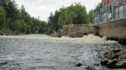
This township is located east of the southern portion of Baxter State Park. Both the Golden Road and the West Branch of the Penobscot River span its width. Ripogenus Dam, Lake, and Gorge are major geographic features. [See related Chesuncook]
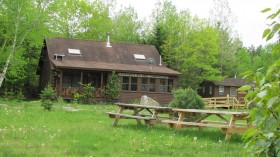
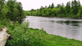
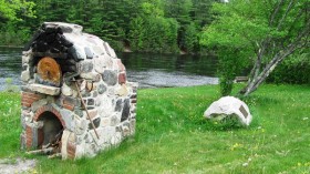
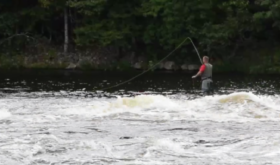
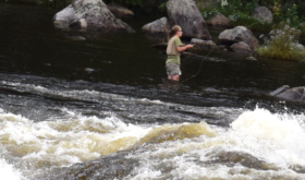
Traveling west and entering the township, an early feature is Chewonki’s Big Eddy Campground. Situated right on the banks of the West Branch, it offers cabins and campsites, as well as access to the Eddy, a well-known land-locked salmon pool. Even as the river roared behind them, fishing the Bid Eddy beckons for fly fishing. [N45° 52′ 35.72″ W69° 8′ 20.54″]
[Click the photos to enlarge and clarify]
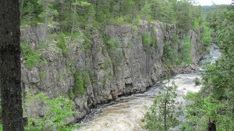
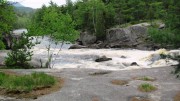
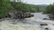
Soon the Telos Road and bridge above the Eddy appears, with its rock-walled narrows in the river. (Telos in Greek means “the end,” “far,” “the ultimate”. The West Branch’s flow varies widely depending on snow melt, rains and water releases at Ripogenus Dam. In May of 2012 it was “normal” but in May 2017 and September of 2018 the river demonstrated its potential power.
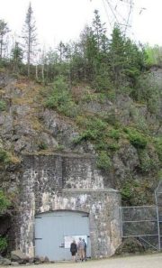
Next up is the famous Ripogenus Gorge and the McKay Station, which uses water from Ripogenus Dam delivered through a tunnel.


