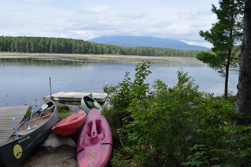
This township, in Penobscot County, is about eight miles northwest of the town of Millinocket on the Millinocket Lake Road. The long south shore of the Lake is its primary recreational asset.
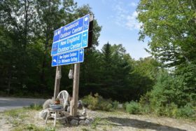
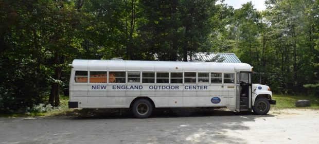
The short Black Cat road skirts the 860-foot Black Mountain toward several outdoor adventure organizations. While their base is here, they transport adventurers to sites for whitewater rafting.
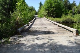
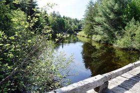
Millinocket Stream is an outlet from the Lake, following the unimproved Stacyville Road to Millinocket and moving under two modest bridges as seen in the accompanying photo. (click to enlarge)
Millinocket Lake spreads over nearly 9,000 acres with a maximum depth of 86 feet. According to a survey of the Lake:
As in many of Maine’s lakes formed by glacial action, rockiness is the outstanding feature of Millinocket Lake. The extensive rocky shoreline is punctuated by numerous coves, peninsulas and rocky shoals. Many small islands are scattered throughout the shallower areas of the lake. Large submerged rocks and shoals make navigation of the south portion of the lake quite hazardous.
Millinocket Lake provides suitable habitat for both warm and cold water species of fish. Known as a two story fishery, warm water fish inhabit the extensive shallow areas of the lake while a large deep basin on the northern end provides suitable habitat for cold water fish.
An important highway of Maine’s forest products industry, the Huber Road crosses west-east in lower portions of the township. It had been busy moving logs from the Golden Road to mills in the Millinocket area in boom times for the industry.
Additional resources
Maine. Department of Inland Fisheries and Wildlife. “Millinocket Lake.” https://www.maine.gov/ifw/docs/lake-survey-maps/penobscot/millinocket_lake.pdf


