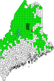
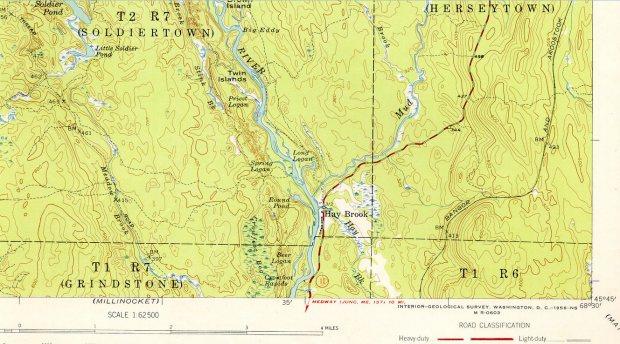
Soldiertown is one of two townships by the same name. This one is in Penobscot County and is also known as T2 R7 WELS. The other, known as T2 R3 NBKP, is in Somerset County.
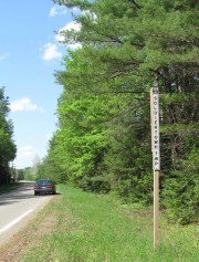
The only improved road in T2 R7 WELS is a short section of Route 11 between Grindstone Township and Herseytown Township.
The East Branch of the Penobscot River travels from north to south on its east side. Three small ponds, Soldier, Little Soldier and Trout are the other significant water bodies. Trout Pond (N45° 51′ 0.47″ W68° 41′ 19.48″), in the northwest corner of the township (not shown on map below), is accessible from T3 R7 WELS on the Stacyville Road. Deer frequent the pond, which has a boat launch off the Stacyville Road.
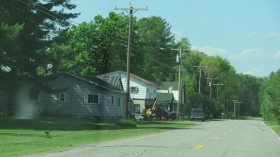
Hay Brook, in the southeast corner on Route 11 near the East Branch, is its only village. Heavily forested with many logging roads, its primary economic resources are forest products and some agriculture.
A short canoe trip from Herseytown Township to Soldiertown on Mud Brook is an easy paddle to its confluence with the Penobscot River East Branch. Beavers abound in the early spring.
Additional resources
*Rebecca A. Williams photo
U.S. Geological Survey. Washington, DC. Topographic map from UNH Dimond Library, Documents Department & Data Center, Historic USGS Maps of New England & New York, “Stacyville, ME Quadrangle, Southeast Corner.” http://docs.unh.edu/ME/stcy53se.jpg (accessed May 7, 2014)


