Two Rockwoods
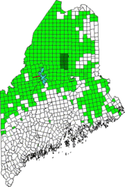
Rockwood is actually two townships with virtually the same name: T1 R1 NBKP (in the east) and T2 R1 NBKP (in the west). They are adjacent to each other in a narrow strip together measuring about 11 miles east-west and 1 mile north south.
The townships were probably named for Hiram Rockwood who reported his 1829 survey of the townships to the State of Maine Land Office.
Rockwood East
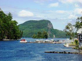
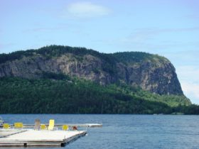
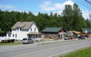
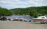
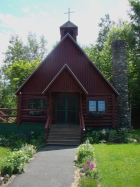
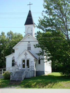
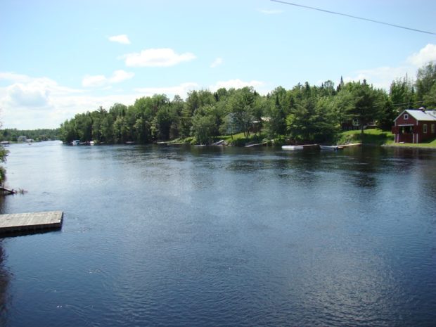
Rockwood village, on the shore of Moosehead Lake, lies in eastern township. The east is served by Maine combined routes 6 and 15. It is divided north-south by the Moose River (see top photo) connecting Moosehead Lake with Brassua Lake in the west. Rockwood village has spectacular views of Mount Kineo. A small marina, stores and two churches support the small community.
Rockwood West
Brassua Lake and Little Brassua Lake shores dominate
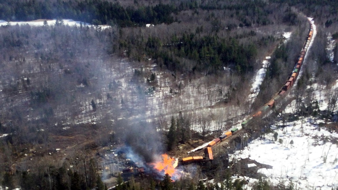
This photo shows the wreck of the railroad just north of Rockwood on April 15, 2023 by derailment of the Canadian Pacific City railroad witch burst into a fire. near the western township. New Stony Brook Road and Demo Road are the only improved roads in the township, for about one mile each. The unimproved Twelve Mile Bog Road, at the extreme west of the township, is the only other significant road.
The shallow, 192-acre Demo Pond is the only landlocked water body. Demo Brook, the outlet, flows into Moose River, as does Stony Brook.
Additional resources
Maine. Board of State Assessors. Twenty-Fourth Annual Report of the Board of the State Assessors of the State of Maine: 1914. Waterville, Me. Sentinel Publishing Company. 1915. https://books.google.com/books?id=PiQrAAAAYAAJ&printsec=frontcover&source=gbs_ge_summary_r&cad=0#v=onepage&q&f=false (accessed January 24, 2017)


