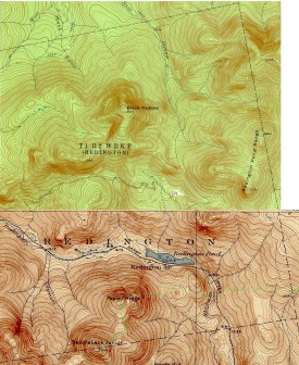
The township is northwest of Mount Abram Township, host to the next northerly section of the Appalachian Trail. Redington is remote from other communities. Its interior is accessible only by traveling south off Route 16 in Coplin Plantation along secondary roads; or east from Route 16 in Dallas Plantation on the secondary Redington Road that runs along Redington Stream to Redington Pond. The northern and southern sections of the township are isolated by its mountainous terrain.
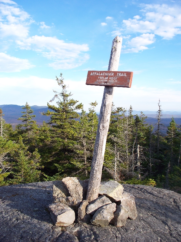
The trail crosses most of the southern portion of the township, with a shelter on Poplar Ridge, elevation 3,120 feet, just north of Saddleback Jr. Mountain, elevation 3,640 feet. It continues due east to Lone Mountain in Mount Abram Township. Redington Pond and Redington Pond Falls lie north of the trail in the east of the township.
Some peaks in the township have been proposed as sites for turbine wind farms, but have so far been protected from development by the Maine Land Use Regulation Commission.
Photo courtesy of Brady G. Williams 2007.
Topographic maps are details created from the following: University of New Hampshire Dimond Library, Documents Department & Data Center, Historic USGS Maps of New England & New York, accessed 1/10/2008: Stratton, ME Quadrangle (1956), http://docs.unh.edu/nhtopos/Stratton.htm.


