Windows on the River: East Branch

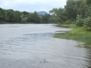
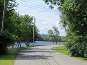
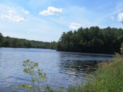
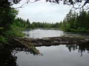
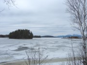
Grand Lake Matagamon from the Baxter Park Access Road before the Matagamon Gate

Grand Lake Matagamon from the Baxter Park Access Road before the Matagamon Gate

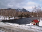
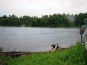
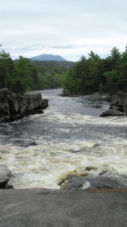
East Branch of the Penobscot River looking north in T6 R8 WELS, with Horse Mountain, in Baxter State Park, in background

East Branch looking north in T6 R8 WELS toward Grand Lake Matagamon

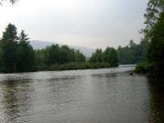
Deasey Mountain from the East Branch in T3 R7 WELS (2014)

Deasey Mountain from the East Branch in T3 R7 WELS

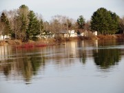
Haybrook Village on the East Branch of the Penobscot River in Soldiertown Township

Haybrook Village on the East Branch of the Penobscot River in Soldiertown Township

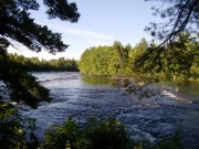
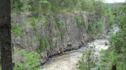
East Branch of the Penobscot River in Grindstone Township

East Branch of the Penobscot River in Grindstone Township

East Branch at Medway

East Branch at Medway

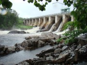
Confluence of East (right) and West Branches of the Penobscot at Medway

Confluence of East (right) and West Branches of the Penobscot at Medway

Windows on the River: West Branch

Seboomook Lake above Seboomook Dam

Seboomook Lake above Seboomook Dam

Seboomook Dam beginning of the West Branch

Seboomook Dam beginning of the West Branch

The West Branch of the Penobscot River near the Roll Dam Campsite in Seboomook Township

The West Branch of the Penobscot River near the Roll Dam Campsite in Seboomook

West Branch below Ripogenus Dam at Ripogenus Gorge

West Branch below Ripogenus Dam at Ripogenus Gorge

West Branch of the Penobscot River on the Telos Road

West Branch of the Penobscot River on the Telos Road

The West Branch where Nesowadnehunk Stream enters

Nesowadnehunk Stream enters the West Branch

West Branch at Abol Bridge near Baxter State Park

West Branch at Abol Bridge near Baxter State Park

The West Branch passes through North Twin Lake

The West Branch passes through North Twin Lake

West Branch passes througth Dolby Pond in Millinocket

West Branch passes through Dolby Pond in Millinocket

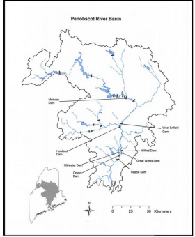
The Penobscot River Basin drains 8,680 +/- square miles in northeastern Maine. The main stem of the river flows for 105 miles from the confluence of its East and West Branches in Medway, south to its mouth in Penobscot Bay.

Penobacot River Watershed Map NOAA

Approximately 95% of the basin is forested and with a sparse population. Once a bountiful source of alewives, shad and salmon, it has lost many to dams, pollution and over fishing. The effects have been felt as far away as the Gulf of Maine.

Major communities in the basin include Millinocket, Howland, Lincoln, Old Town, Orono, Veazie, Bangor, and Brewer.

Drainage of the Penobscot, Maine’s longest river wholly within the state, and its tributaries, in square miles, are as follows:

East Branch Penobscot River: 1,150
West Branch Penobscot River: 2,140
Mattawamkeag River: 1,520
Piscataquis River: 1,470
Penobscot River: 2,400

The East Branch of the Penobscot originates in East Branch Pond, above Grand Lake Matagamon, passing east of Baxter State Park in T6 R8 WELS, T3 R7 WELS, Soldiertown Township (in Penobscot County), Grindstone Township, and Medway.

The West Branch originates in Seboomook Lake, the confluence of the North and South Branches of the Penobscot, in northern Piscataquis and Somerset Counties.

It passes through Seboomook Township, Northeast Carry Township, T2 R10 WELST3 R11 WELS (Ripogenus Dam and Gorge; Telos Road),  T4 Indian Purchase Township (North Twin Lake),T3 R10 (Nesowadnehunk Stream and Abol Bridge) Millinocket and East Millinocket (Dolby Pond), before joining the East Branch to form the main stem of the Penobscot River at Medway.

Additional resources

Maine. Department of Agriculture, Conservation and Forestry. Maine River Basin Report. “Penobscot River Basin.” Augusta, Me. 2007. http://www.maine.gov/dacf/flood/docs/maineriverbasin/maineriverbasinreport_chap3.pdf (accessed August 15, 2014)

Maine. Department of Environmental Protection. “Biomonitoring Retrospective of the Penobscot River.”  Augusta, Me. 1999. http://www.maine.gov/dep/water/monitoring/biomonitoring/retro/Penobscot3.PDF (accessed August 15, 2014)

NOAA. “North Atlantis Region: Penobscot River Watershed.” 2014. (accessed August 17, 2014)

Windows on the Penobscot River

Bridge over the Penobscot in Howland

Bridge over the Penobscot in Howland

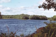
Boat Launch on the Penobscot River in Passadumkeag
Boat Launch, Passadumkeag

Islands in the Penobscot River at Greenbush
Islands in the Penobscot River at Greenbush

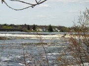
Bridge over the Penobscot River to Indian Island in Old town near the Old Town - Milford Dam

Bridge to Indian Island in Old Town

Bridge over the Penobscot River from Bangor to Brewer
Bridge over the Penobscot River from Bangor to Brewer
Penobscot River at Bucksport and Prospect
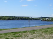
Penobscot River at Bucksport and Prospect
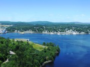
Penobscot River entering Penobscot Bay
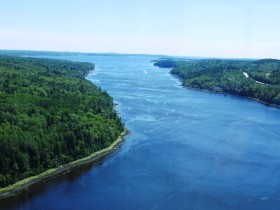
Penobscot River entering Penobscot Bay