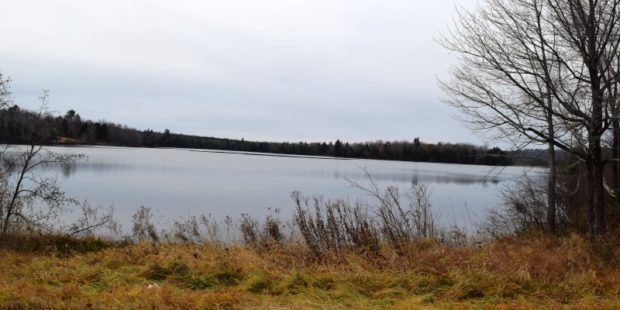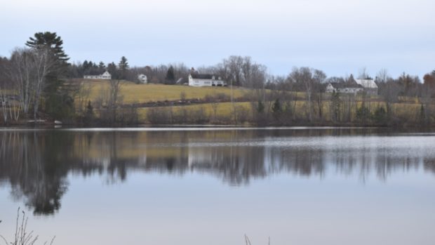
Manhanock Pond in Parkman on the Harlow Pond Road (2018)
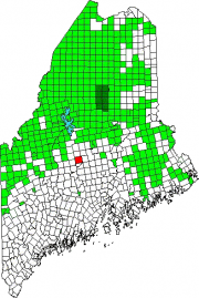
Location Map for Parkman
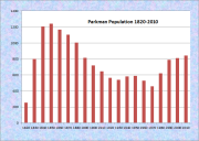
| Year | Population |
|---|---|
| 1970 | 457 |
| 1980 | 790 |
| 1990 | 621 |
| 2000 | 811 |
| 2010 | 843 |
| Geographic Data | |
|---|---|
| N. Latitude | 45:03:45 |
| W. Longitude | 69:26:15 |
| Maine House | District 119 |
| Maine Senate | District 4 |
| Congress | District 2 |
| Area sq. mi. | (total) 46.2 |
| Area sq. mi. | (land) 45.5 |
| Population/sq.mi. | (land) 18.5 |
County: Piscataquis
Total=land+water; Land=land only |
|
[PARK-man] is a town in Piscataquis County, incorporated on January 29, 1822 from Parkman Plantation, formerly T5 R6 NWP township.
Named for Samuel Parkman, an early proprietor, the town was settled first by Europeans in 1810. Mr. Parkman moved to the town and operated a sawmill and a grist mill in the center of town.
Edward Soule from Freeport served in the War of 1812, was captured three times by the British, and spent fourteen months in Dartmoor prison.
In 1880, with a population of 1,005, Parkman had fifteen public schoolhouses. In 1881 it had several additional mills, some mechanic shops, four stores and a hotel.
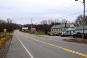
Located just south of Guilford on Maine Route 150, the town contains Harlow Pond and major access to Manhanock Pond, which it shares with Sangerville.
Anticipating the need to prepare for changes in the town, this assessment of Parkman’s current and future development is contained in a brief Comprehensive Plan drafted in the mid-1970s:
The population was formerly scattered throughout the town on small farms but most people now reside along the major highways; principally the Guilford to Cambridge road, and along the road leading to North Dexter. There is no urban area and no public water or sewer systems. New construction for year-round residents has been located mainly along the paved roads. Many of the houses on back roads have been purchased by non-residents for hunting camps or vacation homes. About two-thirds of the 100 housing units built in the last 10 years have been for seasonal and recreational use.Two applications for subdivisions in 1973 give evidence that seasonal housing may be expected to be built in increasing numbers in the future. . . . . .
Over half the land area of the town is now (1970s) owned by non residents, about evenly divided between large lumber companies and individuals who use their land for hunting and recreation. . . . . .
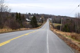
The only major thoroughfare in town is Route 150 leading from Guilford to Cambridge thence to Skowhegan. Route 150 carries some tourist traffic in summer but most of the traffic is from Guilford to residences in Parkman a large number of pulp and lumber trucks use this route throughout the year and a number has increased rapidly in recent years.
Since 1970 the town’s population has almost doubled; the census numbers do not reflect the non-resident population.
Manhanock and Harlow Ponds (together 595 acres), are linked by a narrow waterway under a bridge, and are managed as one body of water. Fish pass freely under the bridge on the causeway that separates the ponds. Smallmouth bass, largemouth bass, white perch, and chain pickerel are the principal fisheries. Ice fishing is permitted on both ponds. Another access to Manhanock Pond is at a State boat ramp off Route 23 in Sangerville.
Form of Government: Town Meeting-Select Board-Administrative Assistant.
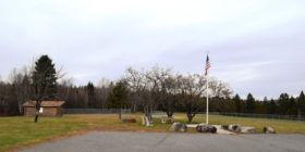
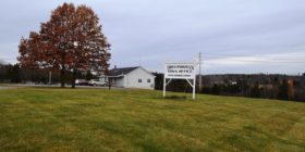
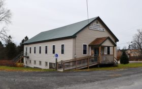
Ball Field and Small Park at the Town Office and Library (2018)
Additional resources
Keniston, Frank W. Biographies of Guilford, Sangerville, Abbot, and Parkman, Maine. Auburn, Me. Press of Merrill & Webber Company. 1942.
Varney, George J. A Gazetteer of the State of Maine. 1886 pp. 427-428.


