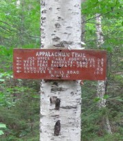
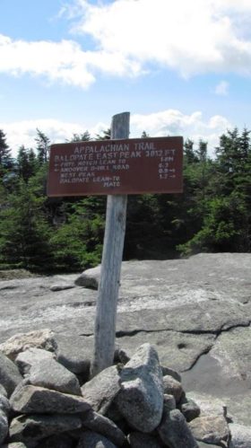
The trail to West Peak on Baldpate Mountain begins at the parking lot in Grafton Notch State Park. Located in Grafton Township on Route 26 in Oxford County, this part of the Appalachian Trail resumes at a small kiosk.
The hiker moves through the woods for a short distance, then crosses the road to pick up the trail that will lead to West Peak about 3.9 miles and 2,800 feet above the starting point and 3,800 feet above sea level. Along the way one finds a lean-to type shelter, and a scenic overlook at Table Rock.
Beyond West Peak, traveling north on the Appalachian Trail is East Peak and a shelter at Surplus Mountain (both just inside Grafton Township). Then a descent through Andover West Surplus Township and Andover North Surplus Township brings the hiker to Dunn Falls and East B. Road.
More
Videos!


