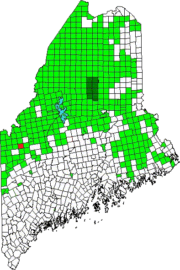
 North of Dallas Plantation, Lang Township (originally T2 R3 WBKB) is a rural area that has one major improved road, Maine Route 16, and the short Kennebago Road.
While sources are sketchy, its population in 1870 was 36, in 1880, 31. A 1936 topo map appears to show about 15 buildings. U.S. Census does not distinguish Lang’s population, if any, from other nearby areas.
Virtually all its northern area is dominated by East Kennebago Mountain. Its only pond, the 62-acre, 6-foot deep Cow Pond, in the west near Rangeley, has no major inlets, but an outlet flows southeast into Greeley Pond in Dallas Plantation. The pond’s shoreline is undeveloped. Access is from beyond the gate of the Kennebago Road off Routes 4 and 16. Brook trout is the main fishery.
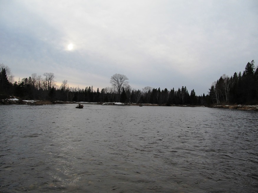
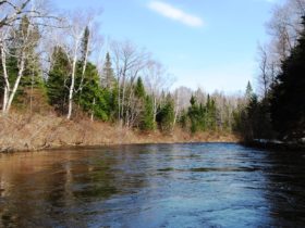
The South Branch of the Dead River runs along Route 16 from its southern line with Dallas to its eastern line with Coplin Plantation. A bridge crosses the river at Langtown Mill village.
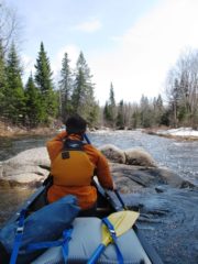
Canoe trips on the river through the township continue on to Stratton near Flagstaff Lake in Eustis.
Additional resources
Brady G. Williams photos
Maine. Department of Inland Fisheries and Wildlife. “Cow Pond.” http://www.maine.gov/IFW/fishing/lakesurvey_maps/franklin/cow_pond.pdf (accessed May 25, 2017)
University of New Hampshire. Historic Topographic USGS Maps of New England & New York. docs.unh.edu/ME/knlk36se.jpg (accessed May 26, 2017)
Varney, George J. A Gazetteer of the State of Maine. Boston. B.B. Russell. 1886.


