For travelers driving north from The Forks to Jackman, and maybe Quebec, Johnson Mount Township is probably just another strip of U.S.Route 201 through the woods.
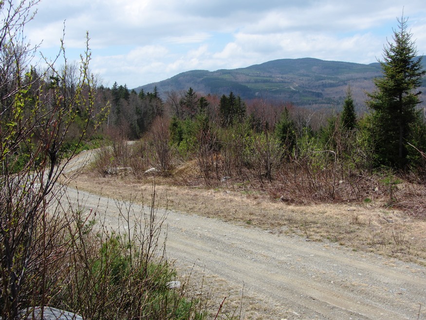
However, for the adventurous seeking a mountain to climb, waterfall or a primitive campsite by a stream, the rewards are nearby. Johnson Mountain is accessible off the (unimproved) Enchanted Mountain Road west of Route 201. See: Enchanted Township
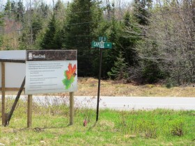
Just north of the township line with West Forks Plantation, Capital Road leads east off Route 201 to the Mountain Brook Road.
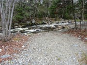
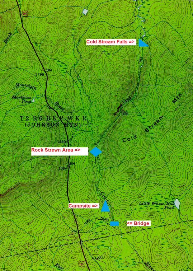
Mountain Brook Road follows Cold Stream northerly to a campsite by the stream, and, with some exploration, to Cold Stream Falls.
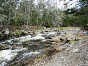
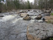
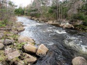
A bit further north on the Mountain Brook Road a not so obvious path lead to a series of rips on Cold Stream that might be mistaken for the falls. But the rock strewn stream bed, though is does have a “fall,” is not the falls.
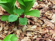
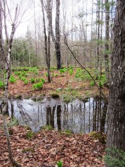
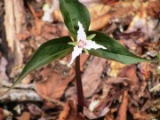
The path to Cold Stream’s “fall” is through a wetland with some interesting plant life.
A falls on Cold Stream is at N45° 29′ 17.34″ W70° 1′ 19.61″ west off the Cold Stream Road. This too may not be the Cold Stream Falls, based on information from Delorme. We will investigate further!
The 1958 topographic map is annotated to show points in the video made May 16, 2014.
More Videos!
Additional resources
Source of topographic map: University of New Hampshire Dimond Library, Documents Department & Data Center, Historic USGS Maps of New England & New York, from http://docs.unh.edu/ME/prpd58ne.jpg, accessed 5/22/2014


