National Register of Historic Places – Freeport
Mallett, E. B., Office Building
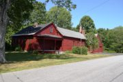
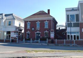
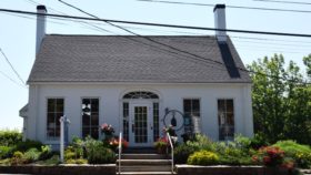
[Mill Street] E.B. Mallett Office Building (2016) Perhaps more than anyone, Edmund Buxton Mallett, Jr. (1853-1923) shaped the town’s character. In 1883 he moved from Pownal to launch his empire. Between 1884 and 1892, he built and operated two shoe factories, a saw mill, grist mill, coal yard, brick yard, lumber yard, granite quarry and the Freeport water system.
This changed Freeport from an agricultural crossroads, with shipbuilding along the shore, to a commercial-industrial center. Mallett met the demand for workers’ housing largely by building tenements and single family Queen Anne style “cottages.” The 1888 Mallett Building contains granite from his quarry, bricks from his yard, and lumber from his mill.*
Main Street Historic District
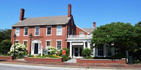
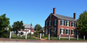
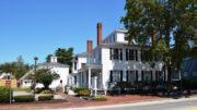
The Main Street Historic District, comprises nine architecturally significant buildings which line both sides of the street. Dating from the late 18th to the early 20th centuries.
The district is residential in nature mixed with commercial uses. From the earliest to the latest, the buildings are stylistically very compatible and represent the prosperous and self-assured society that built them. The Main Street Historic District’s good state of preservation is remarkable, given its position on a much-used U.S. Route 1.”*
However, since 1977 when the Maine Historic Preservation Commission described the District, some alterations have been made. The 1922 Gould House with a gambrel roof has been demolished and replaced by a massive retail building that, in 2015, housed the Gap clothing store. The Bartol Library building now houses an Abercrombie & Fitch outlet store. Along with other changes, backyards of the original building have become parking lots.
Harraseeket Historic District
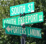
[Roughly both sides of the Harraseeket River, including South Freeport, Porters Landing, and Mast Landing] *
See South Freeport
Porters Landing
Porter’s Landing is on the western shore of the Harraseeket River, below Mast Landing and the Pettengill Farm.
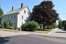
The Landing developed between the late 18th and mid-19th century. Although its homes are contemporary with those at Mast Landing, many are large Federalstyle or Greekrevival
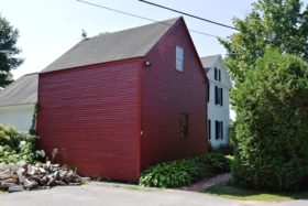
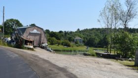
A marine service shop is on Salt Brook stream leading to the Harraseeket River.
Mast Landing
Mast Landing, at the head of the river, is a small community with most homes dating from 1808 to 1850. They reflect the simple beauty of architecture typically found on the Maine coast. The predominant house style in the village is the 1½ story, central chimney capestyle house. Only the doorway sometimes hints at the Federal or Greek Revival periods.
Pettengill House and Farm
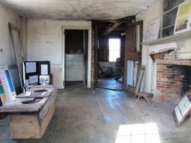
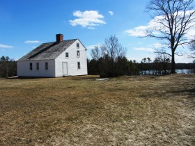
Few lean-to or salt box houses were built in Maine and fewer survive. The Pettengill House is an excellent example of this architectural type. Because it was never modernized (it has no plumbing, running water, electricity, or heating system) the House appears in its original form, a valuable example of late 18th century construction.
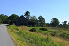
The house, the fertile fields, woodlands, and salt marsh have changed little, leaving an unblemished example of saltwater farms that were common to the Maine coast and are often destroyed by coastal development.
A brickyard, first located on the flats in front of the Pettengill House, moved to the flats at Mast Landing. Steamers ran between the Landing and Portland, carrying wood products and passengers. Firewood was shipped down the Harraseeket River. The House and its inhabitants were witnesses to all this. Ships that passed by the front door are recorded in plaster etchings in the upstairs room.*
Pote, Capt. Greenfield, House
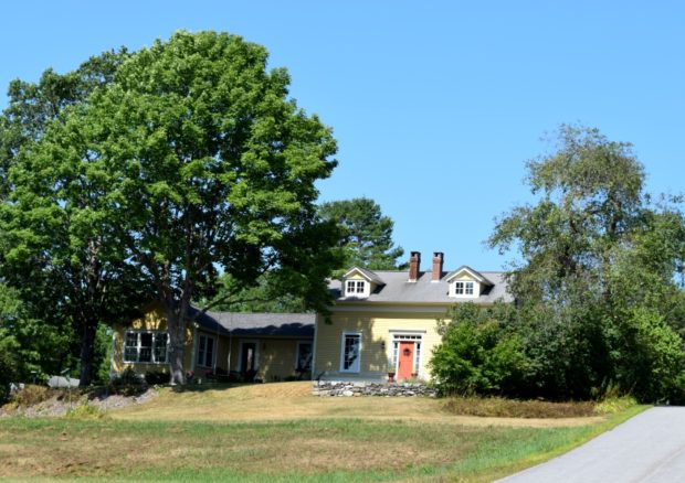
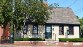
[Wolf Neck Road; approximately N43° 49′ 51″ W70° 5′ 58″] The oldest house on Wolf’s Neck is a lean-to (saltbox) wood-colored dwelling knows as the Pettengill House (not the house at Pettengill Farm). Built in Falmouth about 1760, it was owned by Captain Greenfield Pote, a characteristic Yankee skipper.
After a Sunday sail, he found that a complaint had made against him in Falmouth for setting out on the Sabbath. He declared that he would live no longer in such a town nor would he pay its taxes. So he purchased a farm on Wolf’s Neck, loaded his house on a flat boat and set it where it now stands. The reputed date of this move is around 1765. Excluding the time the house was located elsewhere, it has been two hundred fifty years, in 2015, that it has occupied the present site. *
Upper Mast Landing Road
Additional resources
*Maine. Historic Preservation Commission. Augusta, Me. Text and photos from National Register of Historic Places.




![Captain Pote House (2016) N43° 49' 49.85" W70° 4' 58.20" [approximate] Captain Pote House (2016)](https://maineanencyclopedia.com/wp-content/uploads/160808009-Copy-1-280x187.jpg)

