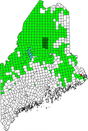
Location Map for Dennysville
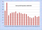
| Year | Population |
|---|---|
| 1970 | 278 |
| 1980 | 296 |
| 1990 | 355 |
| 2000 | 319 |
| 2010 | 342 |
| Geographic Data | |
|---|---|
| N. Latitude | 44:56:50 |
| W. Longitude | 67:14:47 |
| Maine House | District 141 |
| Maine Senate | District 6 |
| Congress | District 2 |
| Area sq. mi. | (total) 15.1 |
| Area sq. mi. | (land) 14.8 |
| Population/sq.mi. | (land) 23.1 |
County: Washington
Total=land+water; Land=land only |
|
[DEN-eez-vil] is a town in Washington County, incorporated on February 13, 1818 from Dennysville Plantation.
In 1832 it set off land to allow forming the town of Pembroke. The original proprietors were Thomas Russell, General Benjamin Lincoln, and John Lowell of Massachusetts.
The township was settled in 1786 by people from the Hingham, Massachusetts area, who arrived in the sloop Sally. A year later William Kilby arrived and opened a blacksmith shop. Theophilus W. Allan built a general store in Dennysville in the early 1800s, and started a lumbering operation in 1821 at Great Works in nearby Edmunds. In the 1830’s a sawmill was operating on Wilson’s Stream.
The Dennysville-built vessel Albert Adams was captured by Confederate forces during the Civil War in 1861. In 1886 supported two schoolhouses with its population (in 1880) of 522.
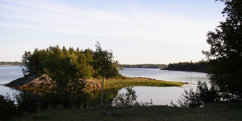
The village lies at the opening of the Dennys River into Dennys Bay and from there into Cobscook Bay. Cobscook Bay State Park is in Edmunds Township, across the Dennys River. While the issue of using tidal power to generate electricity was to emerge in the 20th century, direct tidal power was at work in 1886, supporting lumber mills and a grist mill on the Denny’s River.
A very small town, the land area is 14.8 square miles. The population is 23 per square mile. Total population, about 340.
Additional resources
Land area and population per square mile from http://www.city-data.com/city/Dennysville-Maine.html


