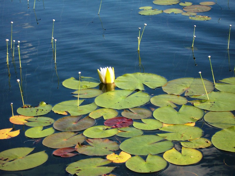
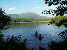
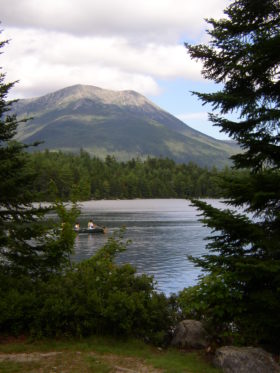
The campground and pond are located in township T3 R10 WELS. The 35-acre pond has a maximum depth of 26 feet and an average of 10 feet. The trail around the pond is about one mile. Daicey Pond had been known by that name since at least 1900. The pond was probably named after the Daisy (then pronounced “Daicey”) for the family that logged the area. Three generations held private title to the camps until 1969 when the State of Maine acquired the property.
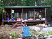
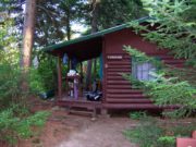
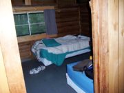
The campground has 10 wilderness type cabins, as shown above. They contain beds, a stove for heat, and gaslights. Campers bring their own food, bedding, cooking utensils, etc.
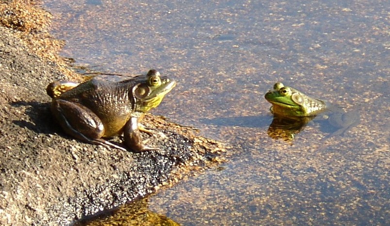
Canoes may be rented for a nominal fee. Fishing in permitted. Making friends on the shore is optional.
The campground is about a half mile hike on a trail northwest to Kidney Pond Campground. Other Park campgrounds.
The photo of Mount Katahdin from Daicey Pond was taken by professional photographer J. Carleton Bicknell. Born in 1871, he colorized his own photos, some of which were turned into postcards. Although undated, it probably dates from 1930-1940.
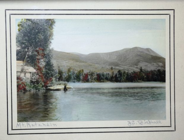
J. Carleton Bicknell photo of Mount Katahdin from Daicey Pond.
Additional resources
Baxter State Park. “Daicey Pond Campground.” http://www.katahdinoutdoors.com/bsp/daicey.html (accessed March 18, 2018)
Neff, John W. Katahdin: An Historic Journey. Boston. Appalachian Mountain Club Books. 2006.


