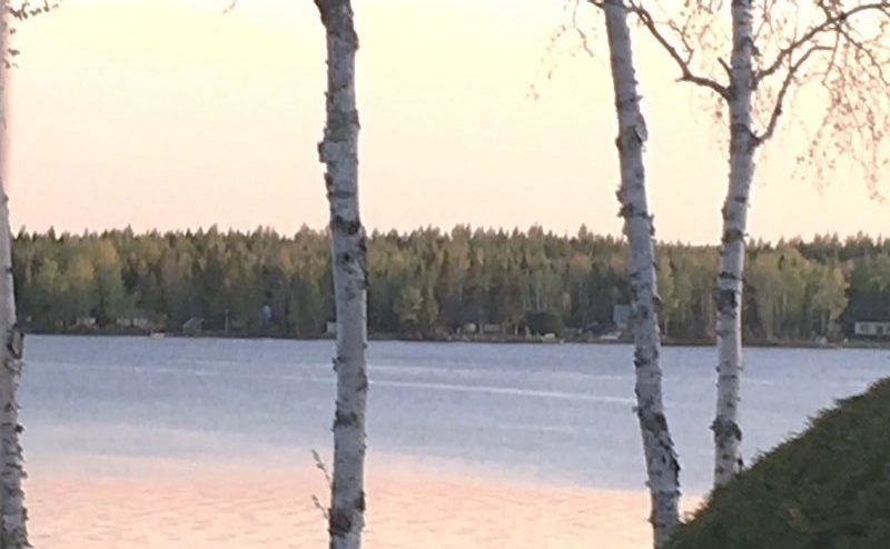
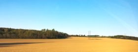
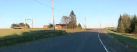
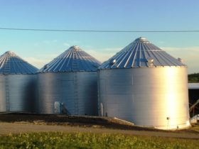
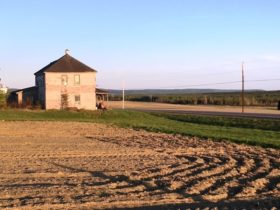
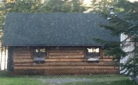
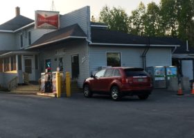
Cross Lake Township, In Aroostook County is, not surprisingly, named for the long lake in its southwestern quarter. Maine Route 161 from Madawaska to Fort Kent slices diagonally across the township. Route 162 branches northeast along Long Lake to St. Agatha. Ouelette and Guerette are the two principal villages. The township is largely a rural agricultural area with rolling hills and no mountains.
According to the most recent (1990) survey of the 2,500 + acre Cross Lake, it supports a sport fishery of statewide significance for brook trout and landlocked salmon. Smelts provide the main forage for salmon and, also support a hook-and-line sport fishery that is variable in quality. In spite of significant spawning and nursery areas, it remains necessary to supplement the salmon population with annual stockings. The various tributaries to the lake sustain the wild brook trout population.
Cross Lake is relatively shallow and has experienced water quality degradation. Development is largely confined to the north and east sides of the lake. The remaining shoreline is forested. Because of the recreational significance of the lake and sport fishery resource, this situation is being addressed through cooperative Maine Department of Environmental Protection and private group efforts. Water quality enhancement projects are being implemented throughout the entire drainage to help correct and control the problem. A public boat landing and picnic area is located on the southeast corner of Cross Lake. Vehicle access to this site is from Route 161 over the improved gravel “Landing Road”.
A 2006 law allowed recreational smelt dipping on a part of Long Lake, with a bag limit of two quarts. Upwards of 200 people have been reported at the Long Lake beach participating in smelt dipping in Mud Brook.*
Ouelette Village is in the northwest quarter of the township. Guerette in the southeast quarter is the site of one of the few grocery stores with gas pumps. Both villages are on Roue 161.
Additional resources
Maine. Department of Inland Fisheries and Wildlife. “Cross Lake.”
https://www.maine.gov/ifw/docs/lake-survey-maps/aroostook/cross_lake.pdf (accessed July 31, 2018)”
*Maine. Department of Agriculture, Conservation and Forestry. “APPENDIX A – EXISTING CONDITIONS IN THE PLAN AREA .” [The Plan area includes land within 6 unorganized townships: T17 R3, T17 R4, Cross Lake (T17 R5), T16 R4, T16 R5, and T15 R5.] May, 2017.https://www.maine.gov/dacf/lupc/reference/resourceplans/fishriverlakes/petition_amend_061717/Volume1_partD-Appendices.pdf (accessed July 31, 2018)


