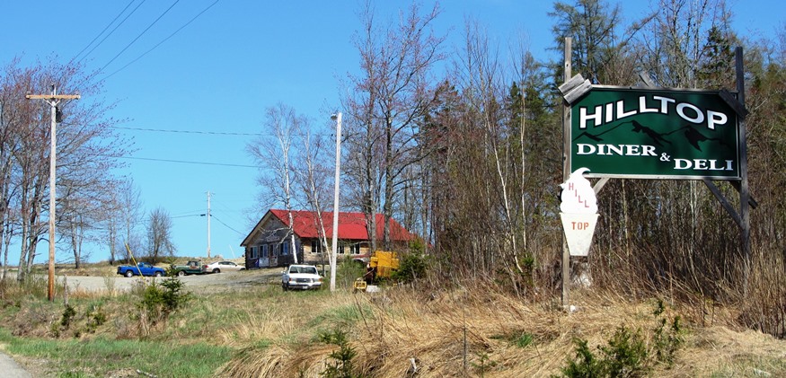
Hilltop Diner and Deli in Crawford on Route 9 (2013)

Location Map for Crawford
| Year | Population |
|---|---|
| 1970 | 74 |
| 1980 | 86 |
| 1990 | 89 |
| 2000 | 108 |
| 2010 | 105 |

Population Trend 1830-2010
| Geographic Data | |
|---|---|
| N. Latitude | 45:02:01 |
| W. Longitude | 67:34:49 |
| Maine House | District 141 |
| Maine Senate | District 6 |
| Congress | District 2 |
| Area sq. mi. | (total) 37.7 |
| Area sq. mi. | (land) 34.6 |
| Population/sq.mi. | (land) 3.05 |
County: Washington
Total=land+water; Land=land only |
|
 N45° 0' 5.63\" W67° 33' 10.86\" [GPS from near the Diner]")
Hilltop Diner and Deli in Crawford on Route 9
The name was changed to Crawford on February 28, 1828 after William Harris Crawford of Georgia who was Treasury Secretary under Presidents James Madison and James Monroe from 1816 to 1825.
He considered running for president in 1824, but withdrew for health reasons.
 N45° 3' 7.55\" W67° 33' 5.46\"")
Crawford Bible Fellowship Church, Rt 9 (”13) @
In the 1880’s the town had a church, two school houses, and just over 200 residents, about double its recent population.
Crawford Lake occupies the center of the town and is an attraction for fishing and recreation.
The town is located on Maine Route 9, following the tracks of the old Airline Stage Route.
Form of Government: Town Meeting-Select Board.
Additional resources
Alexander-Crawford Historical Society Newsletter. Alexander, Me. The Society.
Varney, George J. A Gazetteer of the State of Maine. 1886. p. 184.
</body