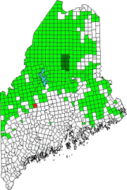
is now an unorganized township in Somerset County after having been a town for over 100 years.
Incorporated on January 25, 1821 from Plantation Number One, R1, BKP., WKR., it surrendered its organized status on July 6, 1935, and thus became deorganized.
The Great Depression of the 1930’s forced many marginal towns, unable to raise the taxes necessary to function, to “deorganize” and have the State take over their assets and liabilities.
Fletcher Mountain is a long northeast-southwest aligned highland in the north central area of the township. In 2009 an application to place wind turbines on the mountain was in process.
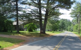
The township occupies the west bank of the Kennebec River across from Bingham. Maine Route 16, also known as the Kennebec River Road, follows the river through Concord.
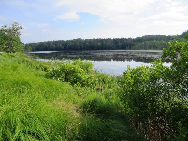
Lily, also known as Merrill, Pond is shallow, at a maximum of six feet, and is unsuitable for cold water fish. The primary catch is chain pickerel in this bog-like 25-acre waterbody, which drains into the Kennebec River.
Additional resources
Concord (Me.) Annual Report of the Municipal Officers of the Town of Concord. 1909-1939. [Maine State Library]
Land Use Regulation Commission Application. Highland Wind Project, Somerset County, Maine. “Section 14 Historical and Archeological Reports.” https://www.maine.gov/dacf/lupc/projects/windpower/highland/Section14.pdf (accessed July 5, 2014)
Maine. Department of Inland Fisheries and Wildlife. “Lily (Merrill) Pond.” http://www.maine.gov/ifw/fishing/lakesurvey_maps/somerset/lily_%28merrill%29_pond.pdf (accessed July 5, 2014)
</body


