Part of the U.S. National Wildlife Refuge in Baring (2013)

Location Map for Baring
| Year | Population |
|---|---|
| 1970 | 173 |
| 1980 | 308 |
| 1990 | 275 |
| 2000 | 273 |
| 2010 | 251 |
| Geographic Data | |
|---|---|
| N. Latitude | 45:05:308 |
| W. Longitude | 67:18:29 |
| Maine House | District 140 |
| Maine Senate | District 6 |
| Congress | District 2 |
| Area sq. mi. | (total) 24.1 |
| Area sq. mi. | (land) 20.9 |
| Population/sq.mi. | (land) 12.0 |
County: Washington
Total=land+water; Land=land only |
|

Baring Population Chart 1830-2010
 N45° 8' 23.76\" W67° 18' 4.22\"") [BARE-ing] Plantation in Washington County, incorporated on January 19, 1825.
[BARE-ing] Plantation in Washington County, incorporated on January 19, 1825.
As was the Washington County town of Alexander, it too was named for Alexander Baring (Lord Ashburton) the British envoy who, along with Daniel Webster, settled Maine’s northern boundary with the Webster-Ashburton Treaty that ended the “Aroostook War.”

“Moosehorn National Wildlife Refuge” (2013) @
 N45° 8' 25.91\" W67° 18' 0.78\"")
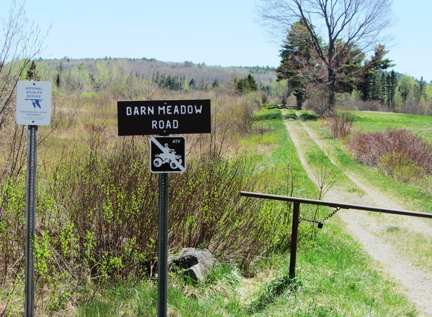
Barn Meadow Road and Signs (2013) @
George Varney’s Gazetteer of Maine described Baring as it was in the late 19th century:
 N45° 8' 18.18\" W67° 18' 47.64\"")
Houses in Baring (2013) @
Hay and potatoes are the principal crop. The forest trees are beech, birch, maple, pine, spruce, hemlock and hackmatack principally. A few elms have been set along the public ways by considerate and public spirited individuals.
 N45° 8' 4.98\" W67° 18' 52.86\"")
Knock on Wood Store (’13)@
 N45° 8' 11.13\" W67° 19' 0.91\"")
Railroad Crossing (2018) @
")
Railroad Tracks c. 1940 (Postcard)
The Moosehorn Branch running south to Pemaquan [Pennamaquan] Lake, is the principal stream. A sheet of water called “Little Lake ” lies in the western part of the town. The centre of business is on the St. Croix, where a dam furnishes a power carrying several saw mills and other machinery. The manufactures of the town are chiefly of lumber in its and various forms. The St. Croix and Penobscot railroad passes through the town and crosses the river into New Brunswick at this point.
 N45° 8' 4.99\" W67° 18' 52.87\"")
Baring Baptist Church (’13)@
At the time Baring had two schoolhouses supported by a population in 1880 of just over 300. Varney reported a Baptist church building in 1886.
The town hosts the extensive Moosehorn National Wildlife Refuge established in 1937.
Form of Government: Assessors-Annual Meeting.
Additional resources
Chase, Clifford G. A History of Baring: compiled for the centenary celebration July 4, 1925 and revised to July 1, 1950. 1950?
Varney, George J. A Gazetteer of the State of Maine. pp. 99-100.