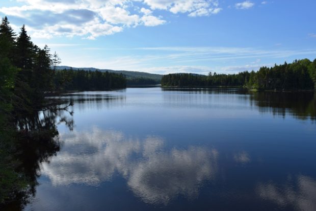
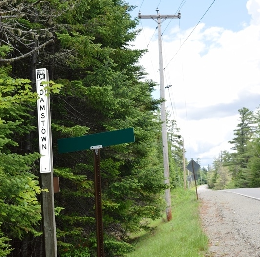
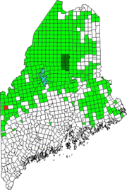
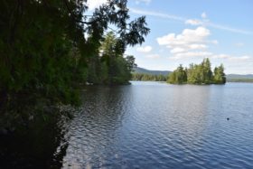
This township in Oxford County is the site of Upper Richardson Maine Public Reserved Land and miles of lake shore on Cupsuptic and Mooselookmeguntic lakes. Route 16 cuts a diagonal northeast-southwest swath through the township.
West Richardson Pond is accessible off Route 16 on the Richardson Ponds Road at N44° 55′ 8.83″ W70° 55′ 17.07″. East Richardson Ponds are isolated and may be accessible over logging roads off Route 16 on West Mooselookmeguntic Road. Both are within the Public Reserved Lands unit.
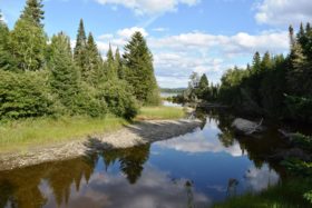
Cupsuptic Lake dominates the northeast corner of the township. The short Herr Trail off Route 16 has several cottages on the lake. The small Cupsuptic River feeds the lake under a bridge on the main road where a boat launch site, in Lower Cupsuptic Township, provides access.


