Windsor

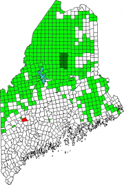
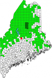
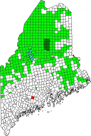
Location Map for Windsor

Windsor’s village center clusters around the town office, the fire station, the Post Office, and Hussey’s General Store at the intersection of Maine Routes 32 and 105. The Windsor Fair attracts crowds each fall to this once agricultural, but increasingly residential, community east of Augusta.

Windham

The main village, North Windham, lies adjacent to Sebago Lake and on the shore of Little Sebago Lake at the junction of U.S. Route 302 and Maine Routes 35 and 115. See photos. While Route 302 is a long commercial strip, an old meeting house is adjacent to the Windham Union Church. Young adult offenders are held at the Maine Correctional Center in South Windham.

Wilton

Location Map for Wilton

Located on the shore of Wilson Pond, the main village lies at the intersection of U.S. Route 2 and Maine Routes 4 and 156.. See photos. George H. Bass began making boots for farmers in 1876. For more than 100 years, the G. H. Bass company made footwear in Wilton.

Willimantic

Location Map for Willimantic

Located on the western end of Sebec Lake, the town offers many camping and fishing opportunities. Packard Landing was the location of Packard’s Camps in the late 19th and early 20th centuries. Maine Route 150 runs north from Guilford and terminates at the village of Sebec Lake, not to be confused with the town of Sebec at the far eastern end of the Lake.