Maine State Symbols

Maine State House (2001)

Each state has its “official state” you-name-it, and Maine is no exception. These symbols are intended to convey the spirit and essence of the natural environment and cultural heritage of Maine. Each has its own story and myths. Often the bird, insect, mineral, etc. symbols are offered to the legislature by elementary school classes as…

Sweden

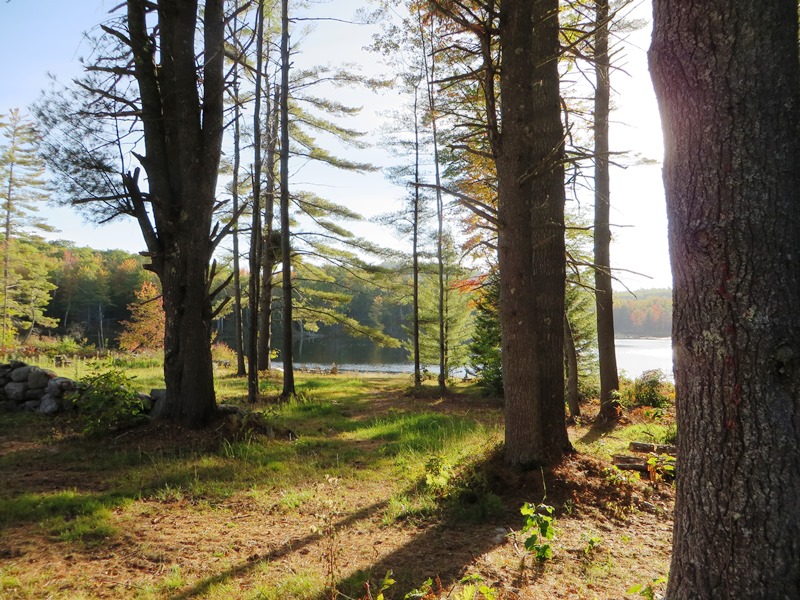
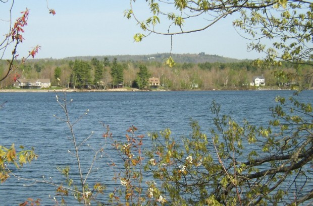
Webber Pond on the Webber Pond Road in Sweden (2014)

Year Population 1970 110 1980 163 1990 222 2000 324 2010 391 Geographic Data N. Latitude 44:07:24 W. Longitude 70:48:59 Maine House District 71 Maine Senate District 18 Congress District 2 Area sq. mi. (total) 29.7 Area sq. mi. (land) 28.8 Population/sq.mi. (land) 13.6 County: Oxford Total=land+water; Land=land only [SWEE-dehn] is a town in Oxford…

Sweat, Lorenzo de Medici

Lorenzo de Medici Sweat (1818-1898) a U.S. Representative, was born in Parsonsfield on May 26, 1818. He was graduated from Bowdoin College in 1837 and from the law department of Harvard University in 1840. He was admitted to the bar and commenced practice in New Orleans, Louisiana, in 1841. He returned to Maine and settled…

Swasey, John Philip

John P, Swasey   John Philip Swasey(1839-1928) a U.S. Representative, was born in Canton on September 4, 1839. He attended the Canton public schools, Dearborn Academy, Hebron Academy, Maine State Seminary, and Tufts College, Medford, Massachusetts. During the Civil War, Swasey enlisted in the Union Army and was appointed first lieutenant of Company K, Seventeenth…

Surry

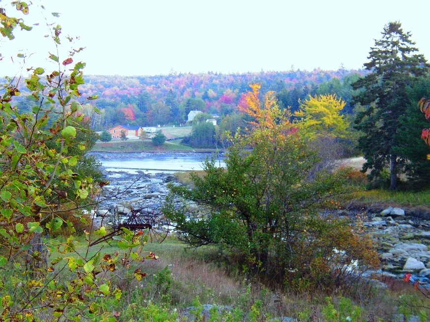
Patten Bay near Union River Bay from Route 172 in Surry (2003)

Surry is just southwest of Ellsworth on Maine Route 172 where it crosses Route 176. Once an active fishing, farming and lumbering community, it is now primarily residential with modest tourism and fishing supplementing the local economy. The town’s Newbury Neck extends over six miles from the mainland, a virtual island surrounded by Morgan Bay and Union River Bay.

Sumner

Increase Robinson Library (2013)

East-west Maine Route 219 serves Pleasant Pond and the villages of West Sumner and East Sumner on its way from West Paris to North Turner. See photos. After booming for decades, the town was crippled by the Great Depression and eventually by the loss of the railroad in 1952. From Buckfield to Turner, the river is a corridor for canoe trips.