Stockton Springs

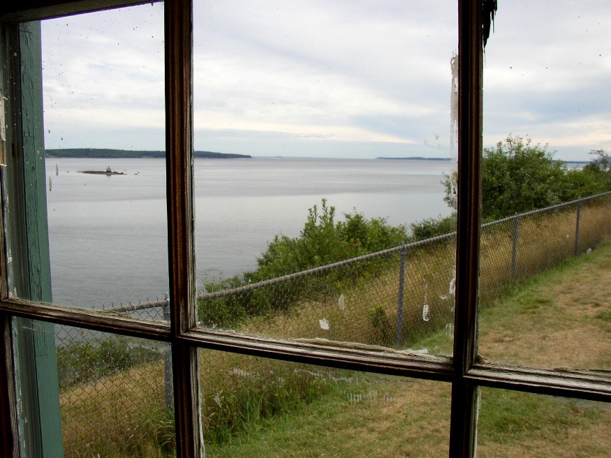
Penobscot Bay from the small museum at Fort Point (2007)

The town lies at the junction of U.S. Routes 1 (east to Bucksport) and 1A (north to Bangor). See photos. Fort Point is a peninsular, just north of Sears Island, that extends almost to the center of Penobscot Bay at its northerly reaches. British Governor Pownall built Fort Pownall there in 1759. Fort Point State Park marks the southern end of Fort Point Cove. Sandy Point Beach is at the northern reach of the cove.

Stockholm

Named for the Swedish capital, the village lies on the Little Madawaska River, just off Maine Route 161 and just north of New Sweden, also part of the Colony. The village, essentially off the main highways, is not “on-the-way” to anywhere. This small community, with a continued significant reliance on agriculture and a declining population, still supports three churches: Catholic, Baptist, and Lutheran.

Topsfield

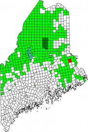
Location Map for Topsfield

The village is at the intersection of north-south U.S. Route 1 and east-west Maine Route 6. Logging and hunting are major activities in this rural community. Topsfield has substantial resources in the long shoreline of Baskahegan Lake and the two smaller lakes: East Musquash and Farrow.

Steuben

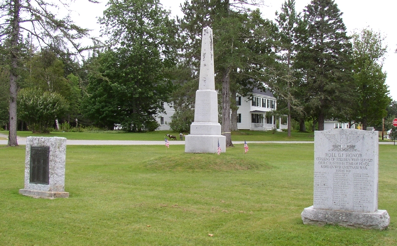
Veterans

This Washington County fishing and summer residential community projects two peninsulas (Dyer Neck and Petit Manan Point) divided by Dyer Bay into coastal waters. See photos. A small section of Penobscot Indian Territory is located at Dyer Harbor on Dyer Neck. The main village lies at the head of Gouldsboro Bay on U.S. Route 1.