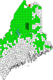
St. John

With the St. John River as its northern boundary, the town is located nearly at the end of Maine Route 161, a dead end road that travels west from Fort Kent to serve the small communities along the River. The Plantation has several modest sized lakes, including Wallagrass Lakes (Lakes 1 and 2) in the southeast, Wheelock Lake in the northeast, and Hunnewell Lake in the west. It hosts two lots of Maine Public Reserved Lands totaling 1,167 acres.


