TA R11 WELS

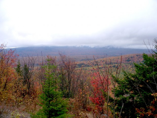
View from Little Boardman Mountain

View from Little Boardman Mountain (2007) The township is immediately west of TA R10 WELS, host to the next northerly section of the Appalachian Trail. Heading south, the AT follows Cooper Brook to Crawford Pond, the to the East Branch of the Pleasant River. Two AT shelters may be found in the township, one in…

TA R12 WELS

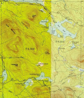
1952 TA R12 Topographic Map

The township is immediately adjacent to T1 R11 WELS, host to the next northerly section of the AT. The Appalachian Trail cuts briefly through the southeast corner of the township, also known as Shawtown. Shawtown is a very watery township, with four of the Roach Ponds and First, Second, Third, and Fourth West Branch Ponds.…