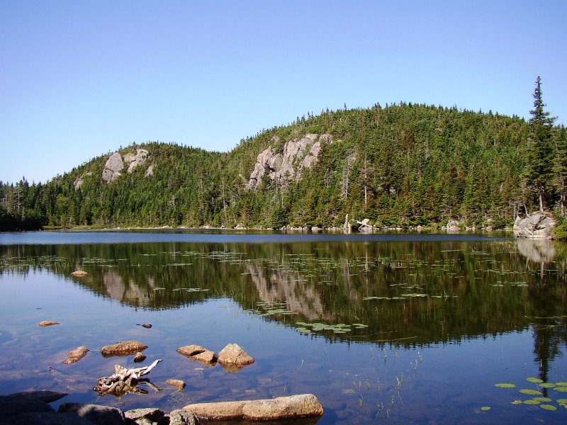
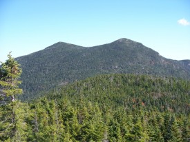
The Bigelow Public Reserve Land tract is located in Wyman Township, Bigelow Township, and Dead River Township in Franklin and Somerset counties. All three townships are contiguous and lie just south of Flagstaff Lake.
East of Stratton in the town of Eustis, about 40 miles north of Farmington, it holds over 36,000 acres of public land. The preserve encompasses the entire Bigelow Range, including seven summits. Highest of these at 4,150 feet is West Peak, one of only 10 Maine summits over 4,000 feet.
Appalachian Trail crosses combined Maine Route 16/27 at N45° 6′ 19.13″ W70° 21′ 32.42″ at the southern boundary of the Township.
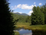
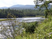
The trails have magnificent views of Sugarloaf Mountain and the 20,000-acre Flagstaff Lake and the Dead River that passes through it (photos below), bounding the preserve on the north.
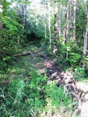
Bigelow Preserve offers many options for outdoor recreation, including hiking six miles of the AT.
Access to the Appalachian Trail is gained over gravel roads off Maine combined Route 16 and 27 on the Carrabassett Road at the Carrabassett Valley – Wyman Township line, and by the Long Falls Dam Road from North New Portland.
The Bigelow Range Trail from Stratton village leads to Cranberry Peak (3,213 feet), then joins the Appalachian Trail beyond Cranberry Pond. The combined trail continues approximately 13 miles to the southeastern tip of Flagstaff Lake.
Two side trails (Horn’s Pond and Fire Warden’s) lead south to Stratton Brook Pond, then along a dirt road to Routes 16/27.
Photos 2003 and 2007, video content 2007, courtesy of Brady G. Williams.


