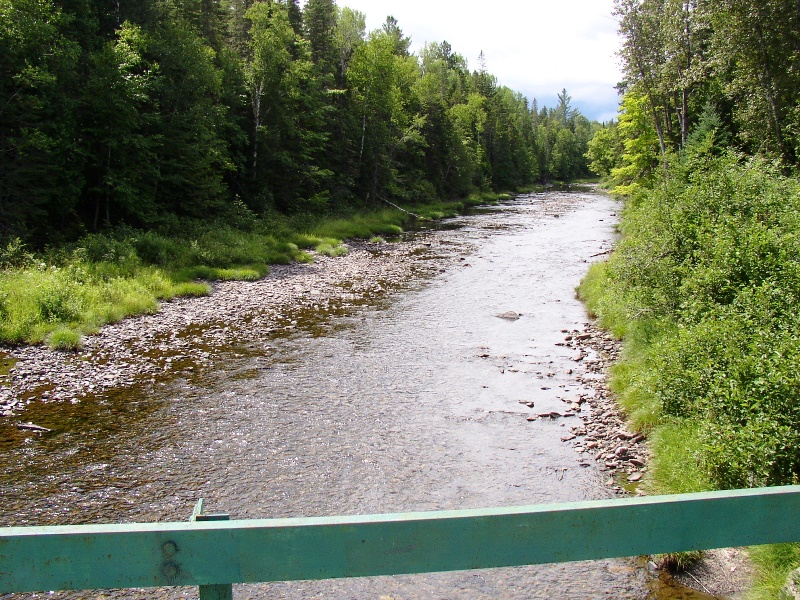
Trout Brook from the bridge on the Perimeter Road in Baxter State Park (Low water July 2007)
Otherwise known at T6 R9 WELS, this township is home to Trout Brook Farm Campground in Baxter State Park. A park ranger station is here just off the northern most reach of the park’s Tote Road.
 N46° 9' 49.38\" W68° 51' 3.26\"")
Trout Brook Farm Campground (2014) @
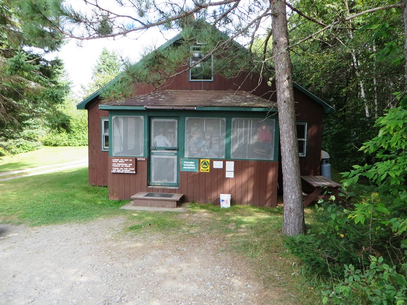
Ranger Station at the Campground (2014)
TroutBrook flows through in a northeasterly direction to enter Grand Lake Matagamon. The brook crosses the Tote Road near the entrance to the South Branch Ponds and their park campground.
")
Trout Brook on the Tote Road in Winter (2009)
 N46° 8' 8.41\" W68° 54' 56.21\"")
Trout Brook on the Tote Road (2014) @
")
Scientific Forest Sign near the Bridge (2009)
")
South Branch Pond Sign near the Bridge (2009)
Some might be surprised that forest products are harvested in a portion of Baxter Park. The area, named the Scientific Forest Management Area, is located in the Northwest Corner of the Park encompassing nearly 30,000 acres, some in Trout Brook Township and most in T6 R 10 WELS. In includes portions of Webster Lake, Webster Stream, and the Freezeout Trail from Webster Lake, along Webster Stream to Grand Lake Matagamon and the Park Tote Road. Other Park campgrounds.
Additional resources