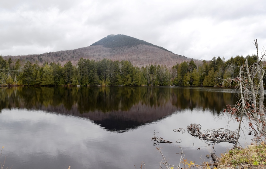
Mosquito Pond with Mosquito Mountain in Reflection from the Troutdale Road (2019)

Location Map for The Forks
| Year | Population |
|---|---|
| 1970 | 52 |
| 1980 | 90 |
| 1990 | 30 |
| 2000 | 35 |
| 2010 | 37 |

Population Trend 1840-2010
| Geographic Data | |
|---|---|
| N. Latitude | 45:15:57 |
| W. Longitude | 69:54:56 |
| Maine House | District 118 |
| Maine Senate | District 3 |
| Congress | District 2 |
| Area sq. mi. | (total) 41.5 |
| Area sq. mi. | (land) 39.6 |
| Population/sq.mi. | (land) .9 |
County: Somerset
Total=land+water; Land=land only |
|

Sign for The Forks
A plantation in Somerset County, formerly the township T1 R4 BKP, EKR, was organized November 2, 1840, with confirmation twice later in 1859 and 1895.
 and Kennebec (right) rivers join at The Forks")
The Dead (upper center) and Kennebec (right) rivers join at The Forks
The Forks village is at the confluence of the Kennebec and Dead Rivers.
With the Kennebec on its west, and the full length of Moxie Pond on its east, the area does nor lack for fishing opportunities.

Pleasant Pond

Pleasant Pond

From Pleasant Pond Mountain

From Pleasant Pond Mountain
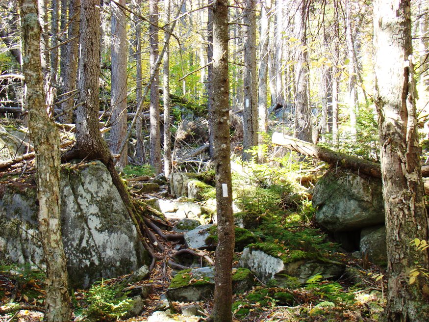
Rocky portion of the Appalachian Trail west of Moxie Pond ascending Pleasant Pond Mountain in The Forks Plantation (2007)
Appalachian Trail southbound hikers enter from Caratunk at the southeast corner of the plantation at the very southern tip of Moxie Pond, trekking over Middle Mountain, then north of Pleasant Pond over Pleasant Pond Mountain before reentering Caratunk.
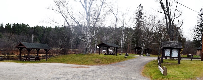
Small Riverfront Park near Cold Stream in The Forks off U.S. Route 201. (2019)
The two rivers, Kennebec and Dead, are the scene of many rafting trips, supported by periodic upstream releases to make the water levels high enough and swift enough for the experience.
")
Cemetery on the Dead River Road (2014)
")
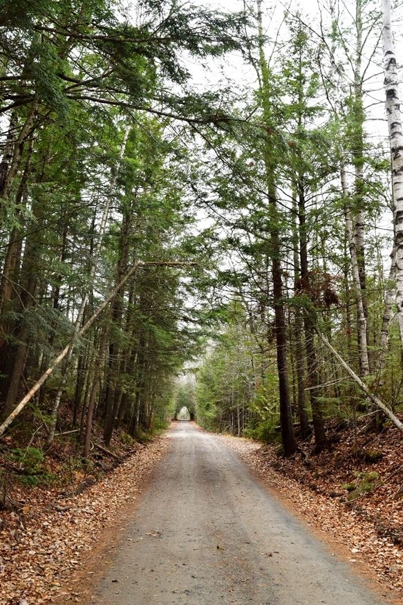
Dead River Road near the Dead River (2014)
 N45° 21' 0.74\" W69° 59' 26.91\"")
The Dead River near the Dead River Road (2014) @
 N45° 20' 58.44\" W69° 59' 17.23\"")
Dead River Lodge on the Dead River Road off U.S. Route 201 (2014) @
 N45° 15' 55.34\" W69° 59' 42.32\"")
Northern Outdoors Kennebec River Pub & The Forks Resort Restaurant, Route 201 (‘2014) @
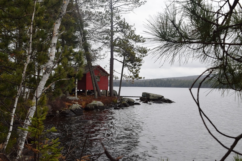
Lake Moxie is a small village at the north end of Moxie Pond in the northeast corner of The Forks Plantation. The Troutdale Road runs south from the village along the west shore of Moxie Pond.
North End of Troutdale/Trestle Road (2019)
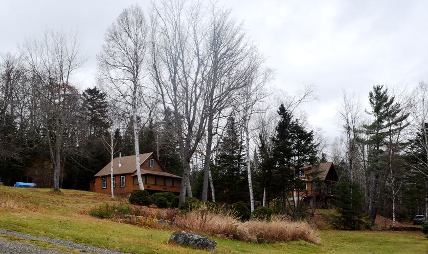
Houses overlooking Moxie Pond off the Troutdale/Trestle Road (2019)
Along the Troutdale/Trestle Road (2019)
Form of Government: Assessors-Annual Meeting.
Photos from the AT and of Pleasant Pond courtesy of Brady G. Williams, 2007.
![]() <= South Appalachian Trail – click a boot North
<= South Appalachian Trail – click a boot North ![]() =>
=>