Thorndike

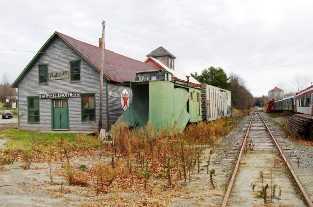
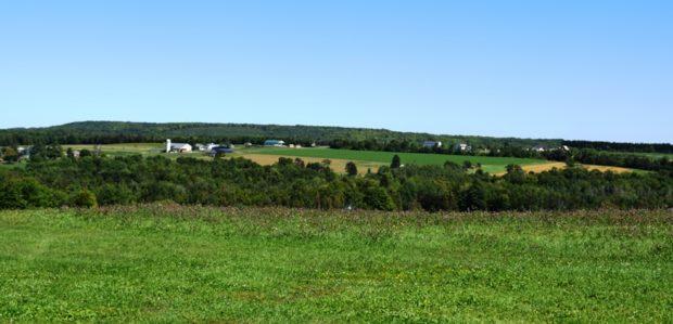
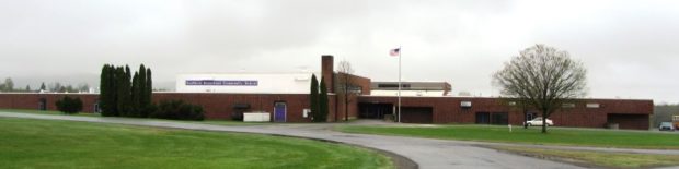
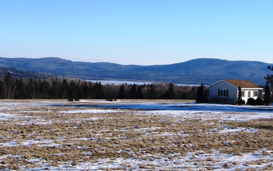
Settled in 1772, the town lies southeast of Unity on Maine Route 139. See photos. While once a farming community, as most Maine towns, Thorndike counted the railroad as a major element in its economy. The remains of that era are obvious in the village. The Belfast and Moosehead Lake Railroad was the latest to use the line.

Hodgdon

Panoramic View from Hidden Spring Winery in Hodgdon (2019)

a farming community, lies just south of Houlton on U.S. 1 where the South Branch of the Meduxnekeag River flows north to an eventual outlet in Canada. See photos. Most of the Lt. Gordon Manuel Wildlife Management Area, including the related dam and the Hodgdon Deadwater, lies in the southwestern portion of Hodgdon.

Dyer Brook

Southern Aroostook Community School (2014) @

Dyer Brook, incorporated in 1891, so named for the stream that flows through it and into the Mattawamkeag River, is in the heart of potato country. See photos. This sparsely populated rural town has no paved roads, other than U.S. Route 2. An extensive bog occupies the middle of the township.

Burlington

Panoramic view of Saponac Pond, fields and mountains in Burlington Village (2014)

in Penobscot County, incorporated in 1832. The township was first settled in 1824, probably by Tristam Hurd who donated the name “Hurd Ridge” to the area. Saponac Lake, in the south, is from the Indian word for “the big opening.” Lumbering and agriculture have been the main occupations, with little manufacturing.