Blake Gore

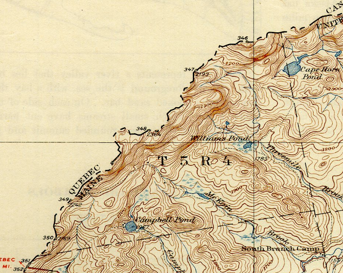
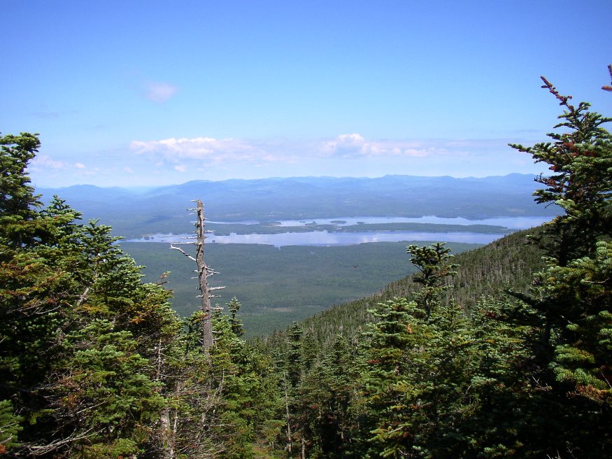
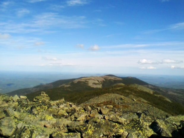
This small township is at the extreme west of the State.  A gore is an area, triangular or irregular in shape, formed by the diverging or converging survey lines, often as a result of inaccuracies. This township in Somerset County shares an irregular, meandering border in a mountainous area with the Canadian province of Quebec.…

Herseytown Township

Mount Katahdin from Herseytown (2012)

Herseytown Township should not be confused with the town of Hersey about 25 miles north on Route 11 in Penobscot County. Davidson, the only village in the township, was in the north at Davidson Pond on the Davidson Road off Route 11. A 1942 USGS Topographic map shows Davidson with several buildings (small squares). Other…

Flagstaff Township

rtion of Flagstaff Lake in Flagstaff Plantation from Bigelow Mountain (2003)

[FLAG-staff] plantation was formally organized on March 5, 1895, though it had been organized for election purposes in 1851, 1865 and 1870. Flagstaff and nearby Dead River Plantation were inundated with water from the Central Maine Power Company’s Long Falls Dam on the Dead River in 1949, after a planned and complete relocation of its…

Mount Abram TWP

The township is immediately south of Carrabassett Valley, host to the next northerly section of the Appalachian Trail. Mount Abram Township is dominated by Mount Abraham, with the AT passing through the northwest corner. This four mile section is inaccessible by road except at the Redington Township line. An unimproved road beginning in East Madrid,…