Edmunds Township

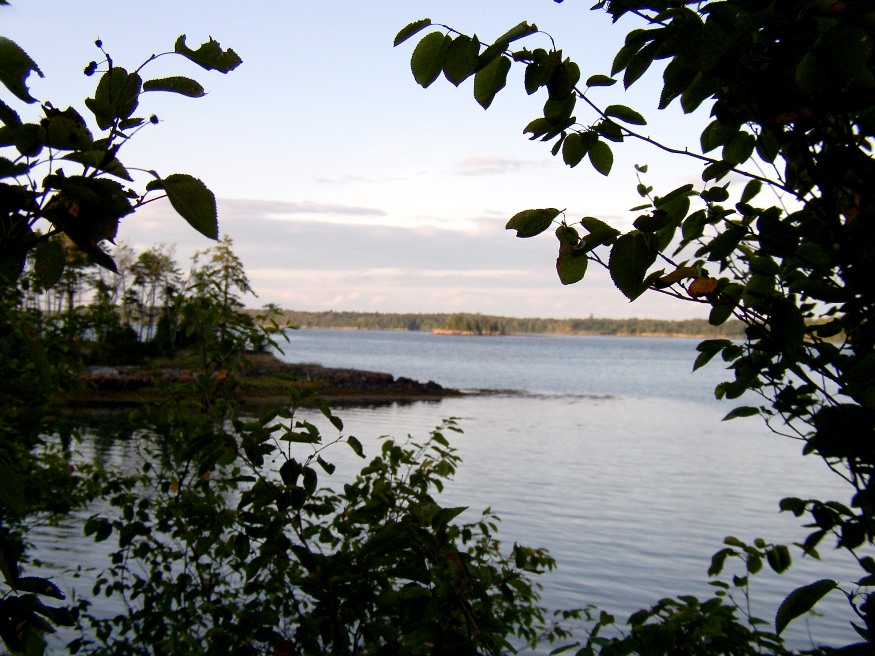
Cobscook Bay from the State Park in Edmunds Township (2004)

Edmunds was incorporated as a town on February 7, 1828, and annexed some land from adjoining Trescott in 1899. However, during the depths of the Great Depression, it surrendered its organized status after over 100 years as a town. As did several Maine towns during the Depression, it became a township on November 27, 1937.…

Sandy River Plantation

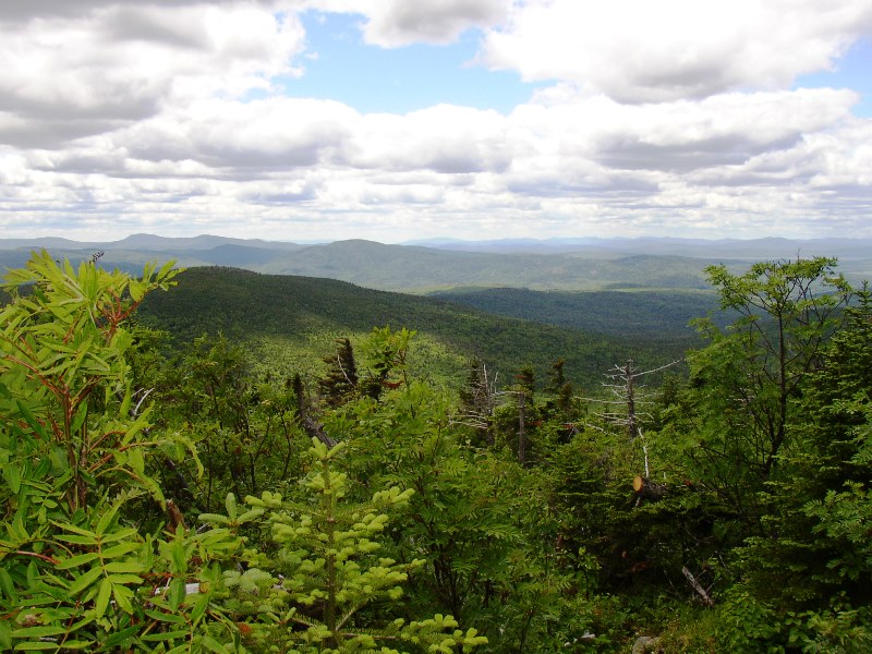
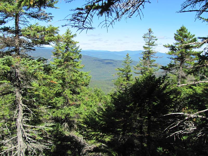
Mountain Ranges from the Saddleback Mountain Trail on the AT (2004)

About 35 miles northwest of Farmington on Maine Route 4, just south of Rangeley, the community marks the source of the Sandy River in the Sandy River Ponds. See map, video and photos. Four Ponds Public Reserve Land lies just east of Mooselookmeguntic Lake. Access is by the Appalachian Trail off Route 4 in Sandy River.

Riley TWP

Boardwalks on the Goose Eye Trail (AT) in Riley Township (2007)

a township in Oxford County, just north of the town of Gilead on the border with New Hampshire. It is home to no lakes, few people, several mountains in the Mahoosuc Range, and the source of Sunday River. It is the entry point for the Appalachian Trail in Maine in a section of the state’s Public Reserved Land. From here it is 281.4 miles to go to reach the summit of Mount Katahdin.