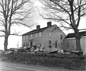
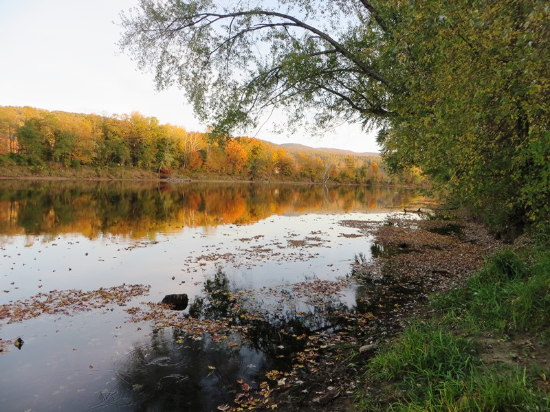
Rumford

Year Population 1970 9,363 1980 8,240 1990 7,078 2000 6,472 2010 5,841 Geographic Data N. Latitude 44:31:19 W. Longitude 70:35:50 Maine House District 115 Maine Senate District 18 Congress District 2 Area sq. mi. (total) 69.9 Area sq. mi. (land) 68.6 Population/sq.mi. (land) 85.2 County: Oxford Total=land+water; Land=land only [RUM-frd] a town in Oxford…


