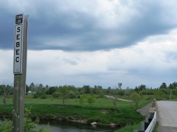
Lambert Lake Township

Sunset over Lambert Lake (2013)

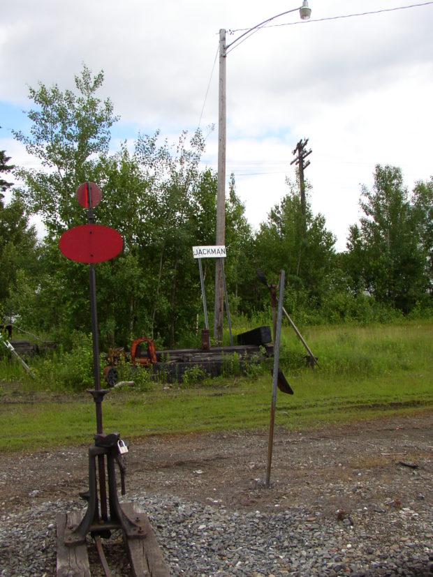
is located south of Vanceboro in eastern Washington County.  The St. Croix River is its boundary with Canada. Two improved roads, Route 6 and Loon Bay Road, and a rail line, intersect near Lambert Lake and its small village.               Loon Bay and Bull Brook roads extend north-south serving…

Vanceboro

Sunset over Small Stream in Vanceboro (2013)

At the easternend of Maine Route 6, Vanceboro lies across the river from St. Croix, New Brunswick where 24-hour per day customs stations manage border crossings. See photos. A hill in the village overlooks the main street. With the large houses, the veterans hall and memorial, it appears to have been an important neighborhood in the history of Vanceboro. The local school of recent vintage is located there. Trains from Maine pass through Vanceboro to Canada.

Topsfield

Location Map for Topsfield

The village is at the intersection of north-south U.S. Route 1 and east-west Maine Route 6. Logging and hunting are major activities in this rural community. Topsfield has substantial resources in the long shoreline of Baskahegan Lake and the two smaller lakes: East Musquash and Farrow.

Springfield

Wind Turbines on Rollins Mountain from Weatherby Hill on Route 6 in Springfield (2014)

Located on the east-west Maine Route 6 crossing eastern Penobscot and northern Washington counties, the town has a substantial area in wetlands. See photos. One account has the name commemorating “extensive fields abounding in springs.” The village is centered around the crossroads of Route 6, Park Street (Routes 169/170), and Shep Road.

Shirley

House with Mountain View on the Lower Shirley Corner Road in Shirley (2011)

Located just south of Greenville on Maine combined Routes 6 and 15, its main village, Shirley Mills (see photos), grew up around early 19th century clapboard and saw mills, using water from the Piscataquis River. Along the east side of the pond, the B&A Railroad North Road runs north along the river. It was created from the old rail bed.

Sebec

Several small ponds dot the landscape, including the 28-acre Garland Pond. Located between Dover-Foxcroft to the west and Milo to the east, the town is connected to both by Maine combined Route 6 and 16, and by the Piscataquis River.

Moose River

Historic Samuel Holden House [remaining portion] (2019)

Jackman’s Main Street (U.S. Route 201/Maine Route 6) merges with that of Moose River. See photos. The two towns, otherwise isolated, share a single community. The historic Moose River Congregational Church is in Jackman. The Town Office and most commercial activity lies along U.S. Route 201/Maine Route 6. The Scott Road (or the Moose River Road) proceeds east into the heart of the township.

Milo

House and Barn in Milo on Route 11 [Park Street] (2014)

Milo village lies just north of the junction of the Sebec and Piscataquis Rivers. The Pleasant River flows south through the town from Brownville to join the Piscataquis. Derby, on the east side of the Sebec River, is a service area for the Bangor and Aroostook Railroad.

Lincoln

Panoramic view of Mount Katahdin from Gilman Road in Lincoln

In 1846, Henry David Thoreau noted that his group “came into the Houlton road again, here called the military road, at Lincoln where there is quite a village for this country.” See photos. It has been a manufacturing center for pulp and paper, shoes and textiles. Recent years have seen a declining population as those sectors have faded. A 40 turbine wind will benefit the town budget.

Lee

Historic 1889 Mallett Hall in Lee Village, built as a hotel by James Mallett (2014)

in Penobscot County, incorporated in 1832, is home to Lee Academy. Victorian style Mallett Hall, also known as the Mount Jefferson House, has been a fixture in the town since 1889. village center lies at the intersection of Route 6 and the short Route 168 from Winn.

Lagrange

While growing slowly, this still small community retains its rural, farming and home town identity. Lagrange was named for the estate of the Marquis de La Fayette, the French friend of the American Revolution. See photos. A section of Maine Public Reserved Land is in the southwest corner of the township, managed for recreation and sustainable forestry.

Jackman

James Jackman, was usually called “Captain Jackman.” He was contracted by the State to build the Canada Road from the Forks to the Canadian border. See photos. The village is on the shore of Wood Pond in Attean Township. Attean Pond and Attean Mountain are southwest of the village in an area designated as one of Maine’s “public reserved lands.” The area provides attractive fishing and hunting opportunities, canoe trips on the Moose River, and jobs for workers in the logging industry.

Howland

Penobscot River South of Howland Village on Route 116 (2005)

Att the junction of the Piscataquis River with the Penobscot, and Seboeis Stream with the Piscataquis, it once had a thriving paper mill, The Advance Bag and Paper Company. See photos. The old mill remains empty. Maine Inland Fisheries and Wildlife supervises the Old Pond Farm Wildlife Management Area featuring eagles, osprey, deer, moose, and water birds.

Guilford

Park in Guilford with mill buildings downtown (2002)

The Piscataquis River flows through the main village with neighboring Sangerville, formed with some land from Guilford, on the southern shore. The town was long a center for textile production. The late 20th century was marked by fires, floods, and economic instability, but the early 21st century opened with efforts at renewal with a river festival and downtown revtlalization.

Greenville

Plaque noting the early settlement of Greenville and the site of its first school

On the shore of Moosehead Lake, it serves as the gateway to Lily Bay State Park and to the upper reaches of the lake via combined Maine Routes 6 and 15. See video and photos. It is also an access point for Elephant Mountain and the preserved site of a B-52 bomber crash in 1963. In 1853 Henry David Thoreau met his guide, Joseph Atteon, in Greenville before boarding a steamboat passing Mount Kineo, to Northeast Carry for the portage to the West Branch of the Penobscot River.

Codyville

is a plantation in eastern Washington County organized in 1871. Recent population losses may threaten its ability to survive. Maine Route 6 links it to Vanceboro on the Canadian Border. This heavily forested area is subject to the “Eastern Interior Region Management Plan” of the Maine Department of Conservation. See photos.

Carroll Plantation

Maple Trees Tapped with Tubing for Maple Syrup on Route 6 in Carroll Plantation (2014)

incorporated in 1845, lies on the old stage line (Maine Route 6) from Lincoln, through Lee, Springfield to Princeton. Named for Daniel Carroll, member of the Continental Congress and signer of the Articles of Confederation and of the Constitution, it is home to an extensive maple sugar harvesting operation. See photos.

Monson

Monson Birdseye View 1889

The Appalachian Trail runs along the northwestern portion of Lake Hebron, then veers north toward the Doughty Ponds. See photos. In Maine, “Monson” often means “slate” to those who know that its high quality products have been shipped worldwide.