Census Quick Facts Maine 2010

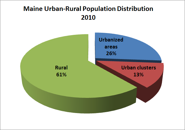
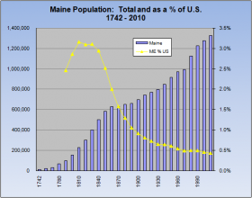
For county Quick Facts, use the menu bar above, clicking on “Government,” then “Counties.” See also population. People QuickFacts Maine USA Population, 2010 1,328,361 308,745,538 Population, percent change, 2000 to 2010 4.2% 9.7% Population, 2000 1,274,923 281,421,906 Persons under 5 years, percent, 2010 5.2% 6.5% Persons under 18 years, percent, 2010 20.7% 24.0% Persons 65…

Washington County

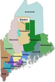
Map of Maine Counties and Baxter Park

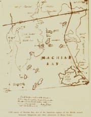
Washington is the fourteenth most populous of the sixteen counties, located on the eastern most coast of Maine. It was formed on May 1, 1790 comprising all land west from the St. Croix River to the then eastern boundary of Hancock County. Only one town, Machias, existed within its boundaries. The county lost half its…

Aroostook County

Map of Maine Counties and Baxter Park

the “rooftop of Maine,” John Steinbeck. This northernmost county, known as “the County,” is the state’s largest, established in 1839, during the “Aroostook War.” Famed for its potato growing, the County’s premiere crop has declined steadily, as has its population. Nevertheless, agriculture still dominates the County’s economy and its culture.

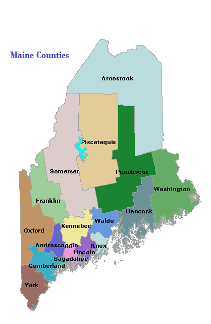
Counties

Maine has sixteen counties, as well as hundreds of local governments. The earliest established was York, in 1652; the latest, Knox in 1860. The structure and functions of county government are similar throughout the state. For a brief sketch of each county, click on its name in the map at right. Aroostook is the largest…