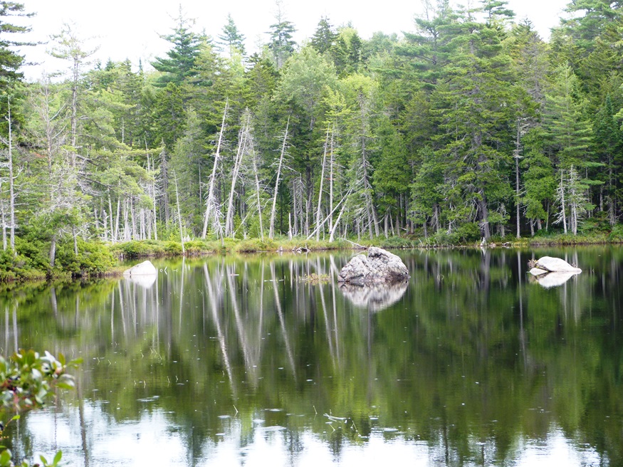
Chase Stream Township
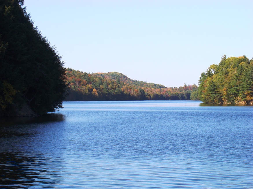
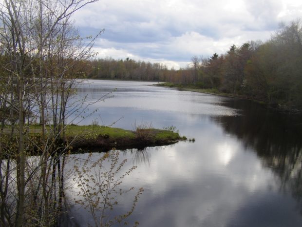
Two miles north of West Forks on U.S. 201, Capital Road begins its northeastern entry to Chase Stream Township, opening to a group of a dozen small ponds: Ellis (101-acres, 18-ft depth) (Flatiron 4-acres, 4ft depth) (Long-16 acres, 14-ft depth), (Round-36 acres, 11ft depth) (Dead 65 acres, 10-ft depth) among others. Most of these small ponds…
")
")