Columbia Falls

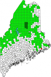
Location Map For Columbia Falls

Year Population 1970 367 1980 517 1990 552 2000 599 2010 560 Geographic Data N. Latitude 44:40:23 W. Longitude 67:42:49 Maine House District 138 Maine Senate District 6 Congress District 2 Area sq. mi. (total) 24.7 Area sq. mi. (land) 24.5 Population/sq.mi. (land) 22.9 County: Washington Total=land+water; Land=land only [kol-UM-bee-ah FALLS] is a town in…

Harrington

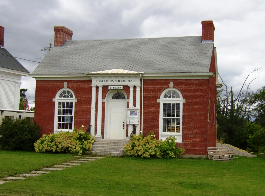
In 1858 the Jefferson Davis trail was cut to haul supplies and instruments to the top of Humpback Mountain for the U.S. Coast Survey. An elegant old church, adjoins the Gallison Memorial Library on U.S. 1. See photos. The town has sustained its population base when others in Washington County have declined. From 2000 to 2010 the number of residents expanded by nearly 14%.

TA R11 WELS

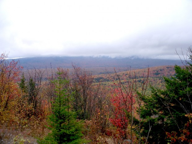
View from Little Boardman Mountain

View from Little Boardman Mountain (2007) The township is immediately west of TA R10 WELS, host to the next northerly section of the Appalachian Trail. Heading south, the AT follows Cooper Brook to Crawford Pond, the to the East Branch of the Pleasant River. Two AT shelters may be found in the township, one in…