Washburn

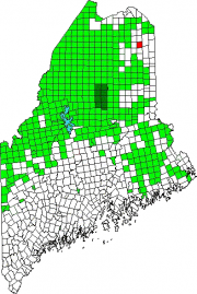
Location Map for Washburn

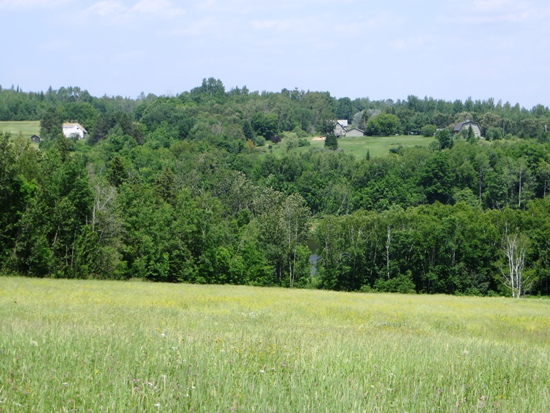
Long a potato growing and processing area, it lies northwest of Presque Isle on Route 164, which curves through the town and links it with Caribou to the northeast. See photos. Washburn’s main village is in the southwest near the Aroostook River, which crosses its southern portion. The villages of Bugbee, Crouseville, and Adeline are along the river on Route 164.

Wade

Town of Wade on the North Side of the Aroostook River in South Wade (2015)

Once known as Garden Creek Plantation and Dunntown, Wade is just northwest of Presque Isle on the Aroostook River. North Wade is a small settlement on Maine Route 228 in the northeast corner of the township. The Aroostook River in Wade is part of one of Maine’s “Focus Areas of Statewide Ecological Significance.”

Roque Bluffs

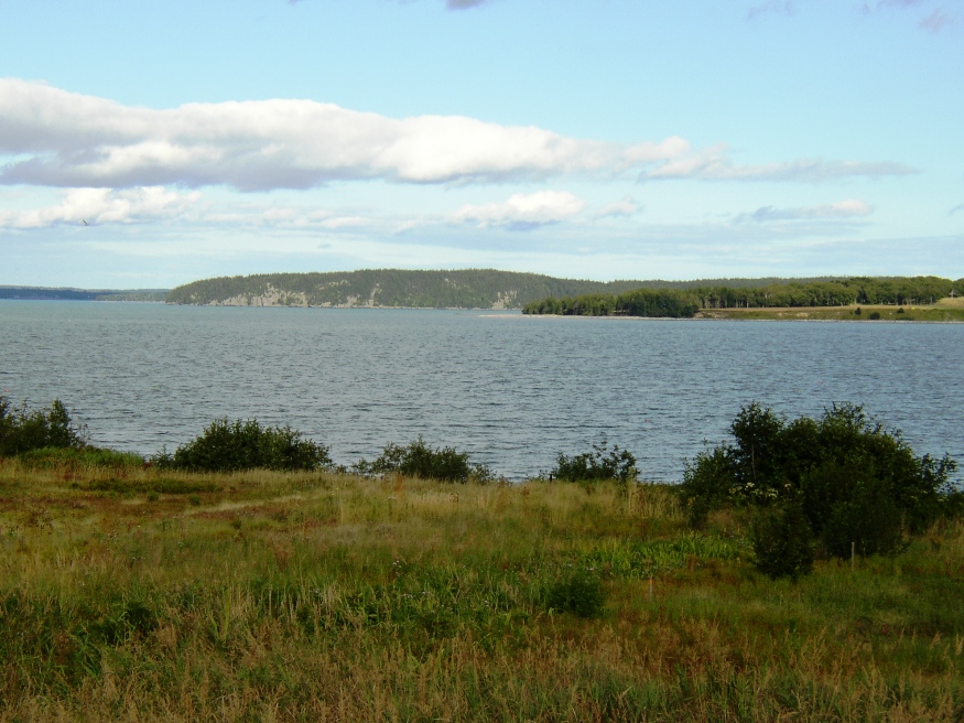
Roque Island right; Roque Bluffs in distance from Route 187 in Jonesboro (2004)

Located south of Machias, the community has a long coastline on its Great Cove, Englishman Bay and Little Kennebec Bay. Roque Bluffs State Park occupies about two miles of the shore. Inland from the park is the Englishman River Wildlife Management Area along the eastern shore of that river.

Meddybemps

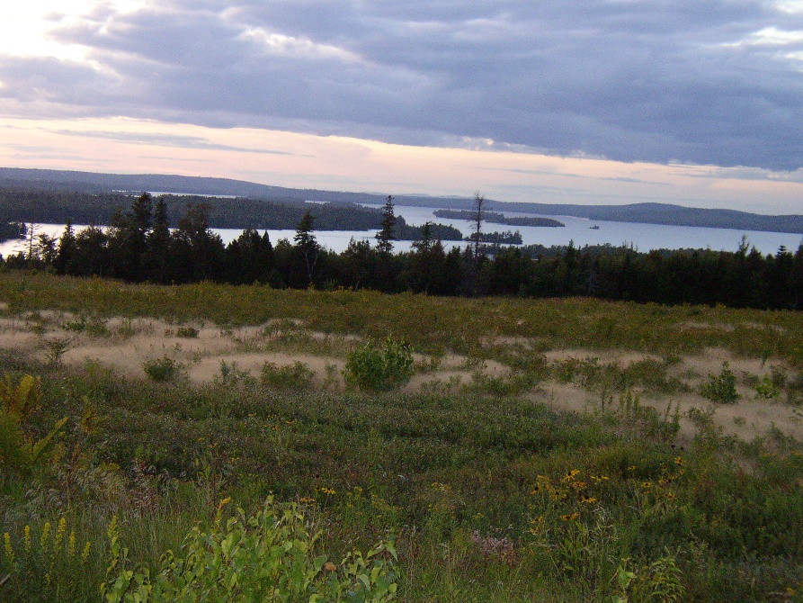
Meddybemps Lake from Route 191 (2004)

A boat launch accommodating trailers is located in Meddybemps village at the south end of the lake, which was once the site of a Native American village. Meddybemps Heath is located on near the lake in the northwest corner of the township. See photo. The Ntolonapemk, Eastern Surplus Superfund Site is located in the town.