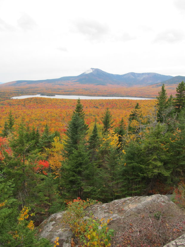
Spectacle Pond Piscataquis County
")
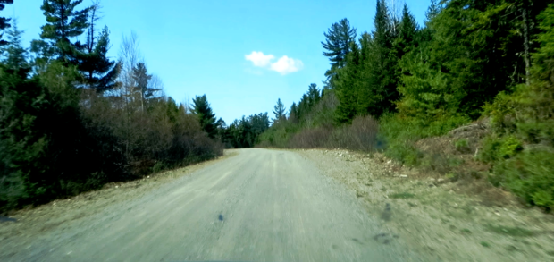
Access to the pond is on unimproved roads beginning in Blanchard Village off the Abbot Road trending southwest for about four miles until turning right at Thanksgiving Pond Road. In about a mile, park road vehicles. Follow a rough road/trail for about a half mile with off-road vehicles or by hiking. This Spectacle Pond…
 on Route 11 (2014) N45° 31")

")
")